|
search place name
|
||
Kolelet (Indonesia)Kolelet is a town in Indonesia. An overview map of the region around Kolelet is displayed below.
regional and 3d topo map of Kolelet, Indonesia ::

Kolelet airports ::
The nearest airport is CGK - Jakarta Soekarno Hatta Intl, located 23.0 km north east of Kolelet.
Nearby towns ::
Panongan (1.1km north) //
Rancaiyun (1.5km south) //
Rancaklapu (1.7km east) //
Ciapus (1.9km north west) //
Serdang (2.4km east) //
Candu (3.2km north east) //
Gondang Wetan (3.3km east) //
Rancabuaya (3.7km south west) //
Cukanggalih (3.9km north) //
Nalagat (4.0km north) //
Tiga Raksa (4.0km north west) //
Nagrok (4.3km north east) //
Jawiyah (4.4km south) //
Babad (4.4km south) //
Curug (4.9km north east) //
Samita (5.0km south) //
Calung (5.4km south west) //
Janaka 2 (5.4km south east) //
Cirarabcurug (5.5km south east) //
Pabuaran (6.1km north) //
Cibunar (6.1km south) //
Bungaok (6.1km south east) //
Jambe (6.3km west) //
Cadas (6.4km east) //
Cikupa (6.4km north) //
Parungpanjang (6.5km south east) //
Cilupa Satu (6.7km north) //
Daru (6.8km south west) //
Legok (6.8km east) //
[all distances 'as the bird flies' and approximate] 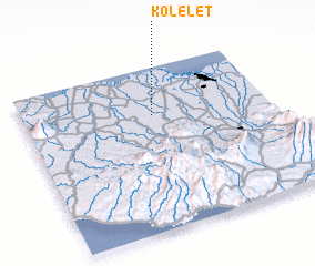 Places with similar names to Kolelet, Indonesia ::
// Calolot (PH)
// Calulud (PH)
// Calulut (PH)
// Collalto (IT)
// Colle Alto (IT)
// Calea Lată (RO)
// Kalealtı (TR)
// Kalealtı (TR)
// Quilelto (CL)
// Kolelet (ID)
Disclaimer :: Information on this page comes without warranty of any kind |
||
|
Where is Kolelet? Elevation and coordinates ::
Latitude (lat): 6°17'24"S Longitude (lon): 106°31'41"E
Elevation (approx.): 44m (map arrows pan, magnifying glasses zoom) |
||
|
Visiting Kolelet? Hotel/Accommodation ::
Book a hotel in Kolelet Travel Guide ::
Buy a travel guide for Indonesia rental cars ::
car rental offers GPS waypoint ::
download a GPX waypoint (PoI) of Kolelet for your GPS receiver
|
||