|
search place name
|
||
Kualabugag (Aceh, Indonesia)Kualabugag is a town in the Aceh region of Indonesia. An overview map of the region around Kualabugag is displayed below.
regional and 3d topo map of Kualabugag, Indonesia ::

Kualabugag airports ::
The nearest airport is MES - Medan Polonia, located 165.3 km south east of Kualabugag.
Other airports nearby include LGK - Pulau Langkawi Intl (259.0 km north east), Nearby towns ::
Payalipah (1.5km north west) //
Buga (1.8km east) //
Blangbalok (2.1km west) //
Cotpayanga (2.8km south west) //
Cotkeli (3.7km south west) //
Cotgeulumpang (4.1km south) //
Peureulak (5.1km south west) //
Peureulak (6.5km south west) //
Aluebujalan (7.6km west) //
Batebuya (8.0km south) //
Payakalui (10.8km south west) //
[all distances 'as the bird flies' and approximate] 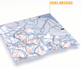 Places with similar names to Kualabugag, Indonesia ::
// Cölbigk (DE)
// Głobikówka (PL)
// Güllübucak (TR)
// Calibogue Cay (US)
// Clabecq (BE)
// Clybucca (AU)
Disclaimer :: Information on this page comes without warranty of any kind |
||
|
Where is Kualabugag? Elevation and coordinates ::
Latitude (lat): 4°50'50"N Longitude (lon): 97°55'7"E
Elevation (approx.): -1m (map arrows pan, magnifying glasses zoom) |
||
|
Visiting Kualabugag? Hotel/Accommodation ::
Book a hotel in Kualabugag Travel Guide ::
Buy a travel guide for Indonesia rental cars ::
car rental offers GPS waypoint ::
download a GPX waypoint (PoI) of Kualabugag for your GPS receiver
|
||