|
search place name
|
||
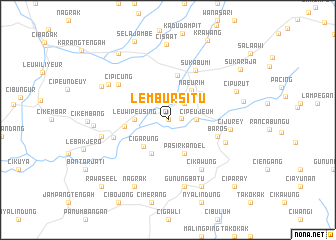
Lembursitu (Indonesia)Lembursitu is a town in Indonesia. An overview map of the region around Lembursitu is displayed below.
regional and 3d topo map of Lembursitu, Indonesia ::
Lembursitu airports ::
The nearest airport is CGK - Jakarta Soekarno Hatta Intl, located 96.9 km north of Lembursitu.
Nearby towns ::
Nangerang (0.1km north east) //
Cibodas (1.5km east) //
Cipakengar (2.6km north east) //
Panenjoan (2.6km north east) //
Cipeujeuh (3.1km east) //
Leuwipeusing (3.7km west) //
Cigarung (4.1km south west) //
Pasirkandel (4.1km south east) //
Cikarang (4.1km south west) //
Naeurih (4.2km north east) //
Dayeuhuhur (4.7km north east) //
Pangleseran (4.9km west) //
Nyomolong (5.1km north) //
Baros (5.8km east) //
Cijankar (5.8km east) //
Sukabumi (6.3km north east) //
Cibodas (6.4km west) //
Cikawung (6.7km south east) //
Cipicung (6.8km north west) //
Cijangkar (6.8km east) //
Cijurey (7.0km east) //
Gunungbatu (7.6km south) //
Sampora (7.6km west) //
Gunungguruh (7.7km north west) //
Cipurut (8.2km north east) //
Ciangsana (8.3km south east) //
Nagrak (8.3km south west) //
Cicantayan (8.2km north west) //
Bojong (8.2km west) //
[all distances 'as the bird flies' and approximate] 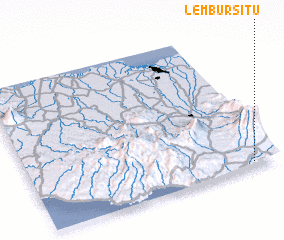 Places with similar names to Lembursitu, Indonesia ::
// Lumber City (US)
// La Merced (CU)
// Lumber City (US)
// Lumber City (US)
// La Merced (CO)
// La Merced (CO)
// La Merced (CO)
// La Merced (CO)
// La Merced (CO)
// La Merced (CO)
Disclaimer :: Information on this page comes without warranty of any kind |
||
|
Where is Lembursitu? Elevation and coordinates ::
Latitude (lat): 6°58'0"S Longitude (lon): 106°54'0"E
Elevation (approx.): 444m (map arrows pan, magnifying glasses zoom) |
||
|
Visiting Lembursitu? Hotel/Accommodation ::
Book a hotel in Lembursitu Travel Guide ::
Buy a travel guide for Indonesia rental cars ::
car rental offers GPS waypoint ::
download a GPX waypoint (PoI) of Lembursitu for your GPS receiver
|
||