|
search place name
|
||
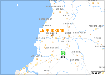
Leppakkomai (Sulawesi Selatan, Indonesia)Leppakkomai is a town in the Sulawesi Selatan region of Indonesia. An overview map of the region around Leppakkomai is displayed below.
regional and 3d topo map of Leppakkomai, Indonesia ::
Leppakkomai airports ::
The nearest airport is UPG - Ujung Pandang Hasanuddin, located 6.8 km south east of Leppakkomai.
Nearby towns ::
Tekolabua (0.4km north) //
Kampalak (1.3km east) //
Pampangang (1.7km south) //
Padolok (2.2km west) //
Pammentengang (2.8km east) //
Mambua (3.8km south west) //
Ulutawa (3.8km north west) //
Patcinikang (3.8km east) //
Kurilompo (4.0km west) //
Pangkasalok (4.1km east) //
Kaemba (4.3km south west) //
Kassikebok (4.3km east) //
Bulurokeng (4.7km south) //
Ujungbulu (4.8km south west) //
Kallikalli (5.8km south east) //
Maros (5.8km east) //
Bontonompo (5.9km north west) //
Manda (6.3km south) //
Kampung Baru (6.8km south) //
Macopa (6.8km south east) //
Kasuarang (6.9km north east) //
Manyikoaya (7.9km south) //
Sudiang (8.0km south) //
Biringkanya (8.3km south) //
Bontoa (8.6km north east) //
Sabang (8.8km north) //
Baddoka (8.9km south) //
Pagandongan (9.2km south west) //
Lantebung (9.4km south west) //
[all distances 'as the bird flies' and approximate] 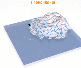 Places with similar names to Leppakkomai, Indonesia ::
// Lipagama (TZ)
Disclaimer :: Information on this page comes without warranty of any kind |
||
|
Where is Leppakkomai? Elevation and coordinates ::
Latitude (lat): 5°0'40"S Longitude (lon): 119°31'11"E
(map arrows pan, magnifying glasses zoom) |
||
|
Visiting Leppakkomai? Hotel/Accommodation ::
Book a hotel in Leppakkomai Travel Guide ::
Buy a travel guide for Indonesia rental cars ::
car rental offers GPS waypoint ::
download a GPX waypoint (PoI) of Leppakkomai for your GPS receiver
|
||