|
search place name
|
||
Letfuar (Maluku, Indonesia)Letfuar is a town in the Maluku region of Indonesia. An overview map of the region around Letfuar is displayed below.
regional and 3d topo map of Letfuar, Indonesia ::

Nearby towns ::
Dian (0.4km north) //
Ohoilleboi (0.5km east) //
Debut (0.7km north west) //
Totoad (1.0km south west) //
Ngursi (1.7km south west) //
Modoat (3.5km south west) //
Ohoibadar (4.1km south west) //
Ewu (4.1km south east) //
Wab (4.9km south) //
Leirnangas (4.9km north west) //
Watnil (5.9km south) //
Namar (5.9km north) //
Sulaer (6.1km north west) //
Sathean (7.6km east) //
Faan (9.2km north east) //
Ngilgof (9.9km north west) //
[all distances 'as the bird flies' and approximate] 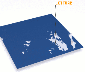 Places with similar names to Letfuar, Indonesia ::
// Liiduvere (EE)
// Lad-Vara (RU)
// Lietgheir (SD)
// Leite Faria (MZ)
// Lauttavaara (FI)
// Lehtovaara (FI)
// Lehtovaara (FI)
// Lehtovaara (FI)
// Lehtovaara (FI)
// La Davière (FR)
Disclaimer :: Information on this page comes without warranty of any kind |
||
|
Where is Letfuar? Elevation and coordinates ::
Latitude (lat): 5°45'0"S Longitude (lon): 132°41'0"E
Elevation (approx.): -32768m (map arrows pan, magnifying glasses zoom) |
||
|
Visiting Letfuar? Hotel/Accommodation ::
Book a hotel in Letfuar Travel Guide ::
Buy a travel guide for Indonesia rental cars ::
car rental offers GPS waypoint ::
download a GPX waypoint (PoI) of Letfuar for your GPS receiver
|
||