|
search place name
|
||
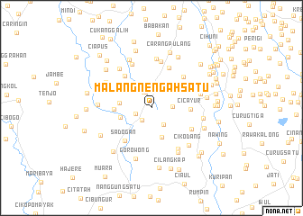
Malangnengah Satu (Indonesia)Malangnengah Satu is a town in Indonesia. An overview map of the region around Malangnengah Satu is displayed below.
regional and 3d topo map of Malangnengah Satu, Indonesia ::
Malangnengah Satu airports ::
The nearest airport is CGK - Jakarta Soekarno Hatta Intl, located 24.4 km north of Malangnengah Satu.
Nearby towns ::
Ciparay (1.9km south west) //
Janaka 2 (2.1km north west) //
Parungpanjang (2.1km west) //
Cirarabcurug (2.1km north) //
Bungaok (2.3km north) //
Panyirapan (2.5km south east) //
Kandang (2.6km east) //
Cikuda (3.8km south) //
Cibunar (3.9km west) //
Babad (4.0km west) //
Samita (4.6km west) //
Cicayur (4.8km east) //
Serdang (5.2km north west) //
Sadogan (5.2km south west) //
Cijantra (5.4km north east) //
Pagedangan (5.5km north east) //
Dukuh (5.6km south east) //
Legok (5.8km north) //
Gondang Wetan (5.9km north west) //
Parigi (6.1km south east) //
Cadas (6.1km north) //
Rancaklapu (6.3km north west) //
Cibasalen (6.3km east) //
Cikandang (6.5km south east) //
Rancaiyun (6.5km north west) //
Cikodang (6.5km south east) //
Suradita (6.5km east) //
Candu (6.6km north west) //
Gorowong (6.6km south) //
[all distances 'as the bird flies' and approximate] 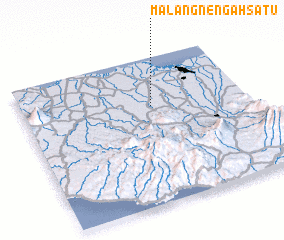 Places with similar names to Malangnengah Satu, Indonesia :: Disclaimer :: Information on this page comes without warranty of any kind |
||
|
Where is Malangnengah Satu? Elevation and coordinates ::
Latitude (lat): 6°19'57"S Longitude (lon): 106°34'43"E
Elevation (approx.): 52m (map arrows pan, magnifying glasses zoom) |
||
|
Visiting Malangnengah Satu? Hotel/Accommodation ::
Book a hotel in Malangnengah Satu Travel Guide ::
Buy a travel guide for Indonesia rental cars ::
car rental offers GPS waypoint ::
download a GPX waypoint (PoI) of Malangnengah Satu for your GPS receiver
|
||