|
search place name
|
||
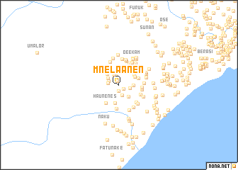
Mnelaanen (Nusa Tenggara Timur, Indonesia)Mnelaanen is a town in the Nusa Tenggara Timur region of Indonesia. An overview map of the region around Mnelaanen is displayed below.
regional and 3d topo map of Mnelaanen, Indonesia ::
Mnelaanen airports ::
The nearest airport is DIL - Dili Presidente Nicolau Lobato Intl, located 152.1 km north east of Mnelaanen.
Nearby towns ::
Naesuti (0.6km north west) //
Toi (0.9km south east) //
Oetopa (1.0km south) //
Fautben (1.5km north) //
Ayotoko (1.7km south) //
Koabala (1.8km west) //
Futmolo (1.8km west) //
Nifubone (1.8km east) //
Oemuke (1.9km north west) //
Futouni (2.0km north west) //
Nakfenu (2.2km north west) //
Baumasuk (2.3km east) //
Toianas (2.4km south east) //
Patab (2.6km north west) //
Noke (2.8km north west) //
Tuakenat (2.8km north east) //
Oefau (2.8km north east) //
Noeulin 2 (2.9km south) //
Kuanaek (3.0km north east) //
Koaana (3.3km east) //
Faunu (3.4km north west) //
Haunenes (3.5km south west) //
Fiobaki (3.6km east) //
Amanas (3.7km east) //
Lobos (3.7km south east) //
Putain (3.8km south) //
Haumolo (3.8km north east) //
Nenohukan (3.9km north) //
Hauhasi (3.9km south east) //
[all distances 'as the bird flies' and approximate] 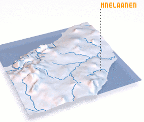 Places with similar names to Mnelaanen, Indonesia ::
// Manaulanan (PH)
Disclaimer :: Information on this page comes without warranty of any kind |
||
|
Where is Mnelaanen? Elevation and coordinates ::
Latitude (lat): 9°41'59"S Longitude (lon): 124°46'12"E
Elevation (approx.): 298m (map arrows pan, magnifying glasses zoom) |
||
|
Visiting Mnelaanen? Hotel/Accommodation ::
Book a hotel in Mnelaanen Travel Guide ::
Buy a travel guide for Indonesia rental cars ::
car rental offers GPS waypoint ::
download a GPX waypoint (PoI) of Mnelaanen for your GPS receiver
|
||