|
search place name
|
||
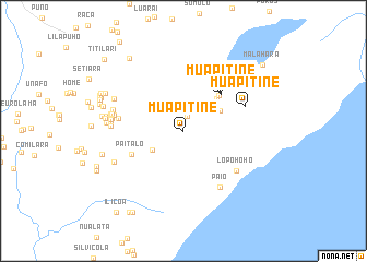
Mua Pitine (Indonesia)Mua Pitine is a town in Indonesia. An overview map of the region around Mua Pitine is displayed below.
regional and 3d topo map of Mua Pitine, Indonesia ::
Mua Pitine airports ::
The nearest airport is DIL - Dili Presidente Nicolau Lobato Intl, located 169.8 km west of Mua Pitine.
Nearby towns ::
Poguinigue (1.5km north) //
Irara (3.7km south west) //
Pehefito (4.2km north east) //
Lopoloho (4.3km north east) //
Pehefito (4.7km north east) //
Vailoro (5.1km north east) //
Muapitine (5.3km north east) //
Muapitine (5.4km north east) //
Paitalo (5.8km south west) //
Lopohoho (6.7km south east) //
Irara (6.7km west) //
Muapitine (6.7km east) //
Paio (6.8km south east) //
Lospalos (7.2km west) //
Kartini (7.3km west) //
Kampungcina (7.4km west) //
Kampungpeternakan (7.4km west) //
Kartini (7.4km west) //
Kampungcina (7.5km west) //
Sidodadi (7.5km west) //
Sidodadi (7.6km west) //
Puaperchula (7.7km south west) //
Motolari (7.7km north west) //
Natura (7.9km west) //
Sentral (8.0km west) //
Los Palos (8.0km west) //
Sawarika (8.4km west) //
Motolari (8.5km west) //
Chomoco (8.5km west) //
[all distances 'as the bird flies' and approximate] 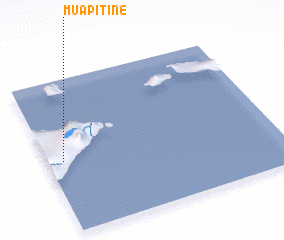 Places with similar names to Mua Pitine, Indonesia ::
// Moapa Town (US)
// Muapitine (TP)
// Mpatano (GH)
// Mpiédiana (ML)
// Mepatene (MZ)
// Mo-pi-t'an (TW)
// Muapitine (TP)
// Muapitine (TP)
// Mape Town (LR)
Disclaimer :: Information on this page comes without warranty of any kind |
||
|
Where is Mua Pitine? Elevation and coordinates ::
Latitude (lat): 8°32'0"S Longitude (lon): 127°4'0"E
Elevation (approx.): 357m (map arrows pan, magnifying glasses zoom) |
||
|
Visiting Mua Pitine? Hotel/Accommodation ::
Book a hotel in Mua Pitine Travel Guide ::
Buy a travel guide for Indonesia rental cars ::
car rental offers GPS waypoint ::
download a GPX waypoint (PoI) of Mua Pitine for your GPS receiver
|
||