|
search place name
|
||
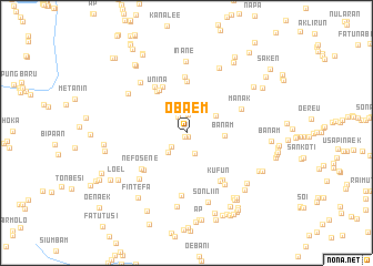
Obaem (Nusa Tenggara Timur, Indonesia)Obaem is a town in the Nusa Tenggara Timur region of Indonesia. An overview map of the region around Obaem is displayed below.
regional and 3d topo map of Obaem, Indonesia ::
Obaem airports ::
The nearest airport is DIL - Dili Presidente Nicolau Lobato Intl, located 127.6 km north east of Obaem.
Nearby towns ::
Nusana (0.4km south west) //
Banulu (0.4km south east) //
Bisose (1.9km north west) //
Tainenes (1.9km north) //
Tunana (2.0km south west) //
Usapi (2.2km south) //
Haenfeka (2.6km south west) //
Lianana (3.4km north east) //
Banam (3.8km east) //
Unina (5.1km north west) //
Mainesu (5.1km north west) //
Amtahan (5.2km north west) //
Inane (5.2km north) //
Tole (5.6km north west) //
Susbeba (5.7km north) //
Banmolo (5.6km south west) //
Nefosene (5.8km south west) //
Kufun (5.9km south east) //
Haumeni (5.9km south east) //
Manak (5.9km north east) //
Latan (6.3km south) //
Nonatoni (6.5km south east) //
Oehalo (6.6km south west) //
Mausek (6.8km north west) //
Fingkoe (7.1km north west) //
Inane (7.2km north) //
Sonliin (7.3km south) //
Sunbai (7.3km north east) //
Oeekam (7.5km south) //
[all distances 'as the bird flies' and approximate] 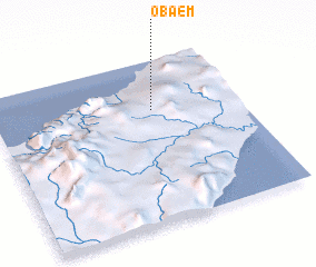 Places with similar names to Obaem, Indonesia ::
Disclaimer :: Information on this page comes without warranty of any kind |
||
|
Where is Obaem? Elevation and coordinates ::
Latitude (lat): 9°18'18"S Longitude (lon): 124°39'2"E
Elevation (approx.): 103m (map arrows pan, magnifying glasses zoom) |
||
|
Visiting Obaem? Hotel/Accommodation ::
Book a hotel in Obaem Travel Guide ::
Buy a travel guide for Indonesia rental cars ::
car rental offers GPS waypoint ::
download a GPX waypoint (PoI) of Obaem for your GPS receiver
|
||