|
search place name
|
||
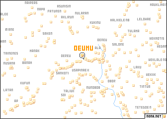
Oeumu (Nusa Tenggara Timur, Indonesia)Oeumu is a town in the Nusa Tenggara Timur region of Indonesia. An overview map of the region around Oeumu is displayed below.
regional and 3d topo map of Oeumu, Indonesia ::
Oeumu airports ::
The nearest airport is DIL - Dili Presidente Nicolau Lobato Intl, located 114.8 km north east of Oeumu.
Nearby towns ::
Bikastilon (0.5km east) //
Hauboekole (0.5km east) //
Pulo (0.7km south west) //
Oematlubu (1.0km south west) //
Fatubena (1.0km east) //
Noefmuti (1.3km west) //
Fatfutu (1.3km east) //
Fatukopa (1.6km west) //
Neofana (1.8km east) //
Sonaf (2.0km east) //
Banoko (2.3km east) //
Tasfeut (2.5km south west) //
Kliuk (2.7km east) //
Oenali (2.7km south west) //
Leonmasi (3.1km south west) //
Samala (3.1km north east) //
Tapipin (3.2km east) //
Boikiana (3.4km south) //
Sobo (3.4km south) //
Mapaluk (3.5km south) //
Sapaen (3.5km south west) //
Usapinaek (3.5km south) //
Nunais (3.6km east) //
Oekam (3.6km north east) //
Hauteas (3.6km east) //
Oehendak (3.7km south east) //
Oereu (3.7km west) //
Kuun (3.9km south west) //
Raebesin (4.0km east) //
[all distances 'as the bird flies' and approximate] 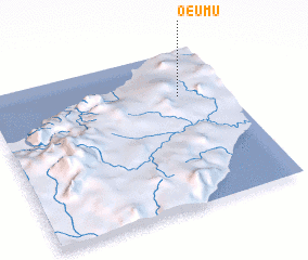 Places with similar names to Oeumu, Indonesia ::
Disclaimer :: Information on this page comes without warranty of any kind |
||
|
Where is Oeumu? Elevation and coordinates ::
Latitude (lat): 9°17'26"S Longitude (lon): 124°47'49"E
Elevation (approx.): 535m (map arrows pan, magnifying glasses zoom) |
||
|
Visiting Oeumu? Hotel/Accommodation ::
Book a hotel in Oeumu Travel Guide ::
Buy a travel guide for Indonesia rental cars ::
car rental offers GPS waypoint ::
download a GPX waypoint (PoI) of Oeumu for your GPS receiver
|
||