|
search place name
|
||
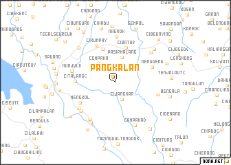
Pangkalan (Indonesia)Pangkalan is a town in Indonesia. An overview map of the region around Pangkalan is displayed below.
regional and 3d topo map of Pangkalan, Indonesia ::
Pangkalan airports ::
The nearest airport is CGK - Jakarta Soekarno Hatta Intl, located 106.4 km north west of Pangkalan.
Nearby towns ::
Cijangkar (2.9km south) //
Cempaka (4.1km north west) //
Pasirmalang (4.2km north) //
Sindangsari (5.8km north) //
Cibatu 1 (5.9km north) //
Citalang 2 (6.4km west) //
Nenggeng (6.5km north east) //
Mengkol (6.6km south west) //
Cikumpay (6.7km north west) //
Selaawi (7.2km east) //
Pasawahan (7.3km south west) //
Cihideung (7.3km south west) //
Pondoksalam (7.3km south west) //
Munjul 1 (7.3km west) //
Nagrok (7.4km north) //
Cipendeuy (7.5km north east) //
Pondokgede (7.6km south west) //
Campaka 3 (7.7km south east) //
Gurungsang (8.3km north west) //
Cipeundeuy 2 (8.3km north east) //
Cijoged 1 (8.8km east) //
Tanjungsari (8.9km south west) //
Cikadu (9.1km north) //
Bengala (9.1km east) //
Selakaya (9.1km south west) //
Gempol (9.4km north) //
Ciseureuh (9.4km south east) //
Warungkuah (9.7km north west) //
Cibeunying (9.8km north east) //
[all distances 'as the bird flies' and approximate] 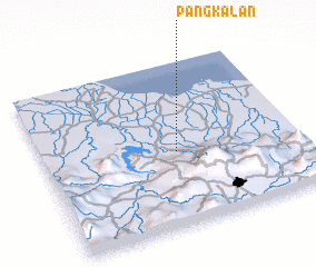 Places with similar names to Pangkalan, Indonesia ::
Disclaimer :: Information on this page comes without warranty of any kind |
||
|
Where is Pangkalan? Elevation and coordinates ::
Latitude (lat): 6°32'45"S Longitude (lon): 107°31'14"E
Elevation (approx.): 225m (map arrows pan, magnifying glasses zoom) |
||
|
Visiting Pangkalan? Hotel/Accommodation ::
Book a hotel in Pangkalan Travel Guide ::
Buy a travel guide for Indonesia rental cars ::
car rental offers GPS waypoint ::
download a GPX waypoint (PoI) of Pangkalan for your GPS receiver
|
||