|
search place name
|
||
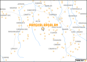
Pangkalapdalam (Indonesia)Pangkalapdalam is a town in Indonesia. An overview map of the region around Pangkalapdalam is displayed below.
regional and 3d topo map of Pangkalapdalam, Indonesia ::
Pangkalapdalam airports ::
The nearest airport is CGK - Jakarta Soekarno Hatta Intl, located 57.2 km north of Pangkalapdalam.
Nearby towns ::
Gadog (1.0km south east) //
Warungloa (1.9km south west) //
Gunungbunder (1.9km south west) //
Cibeunjing (2.3km south) //
Ciburia (2.4km north) //
Pasireurih (2.4km east) //
Kiarapayung 2 (2.8km south east) //
Nambo 2 (2.8km north east) //
Laledon 3 (2.9km north) //
Cilobak (3.3km south) //
Kedun (3.3km north east) //
Ciapus (3.5km north) //
Petir (3.7km north west) //
Tapos 1 (3.8km west) //
Kotabatu (4.3km east) //
Ciomas (4.8km north east) //
Cijeruk (5.0km east) //
Cimanglid (5.2km east) //
Palasari (5.3km south east) //
Cikalancing (5.4km north) //
Pasiroray (5.5km north west) //
Cimayang 1 (5.6km north west) //
Pamoyanan (5.7km east) //
Nagrag 3 (5.8km north west) //
Gunungba (6.2km north) //
Gunungmenyan 2 (6.5km west) //
Slada (6.5km east) //
Ciangsana (6.9km west) //
Cipeundeuy (7.0km west) //
[all distances 'as the bird flies' and approximate] 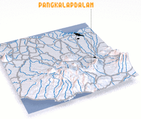 Places with similar names to Pangkalapdalam, Indonesia :: Disclaimer :: Information on this page comes without warranty of any kind |
||
|
Where is Pangkalapdalam? Elevation and coordinates ::
Latitude (lat): 6°38'15"S Longitude (lon): 106°43'42"E
Elevation (approx.): 501m (map arrows pan, magnifying glasses zoom) |
||
|
Visiting Pangkalapdalam? Hotel/Accommodation ::
Book a hotel in Pangkalapdalam Travel Guide ::
Buy a travel guide for Indonesia rental cars ::
car rental offers GPS waypoint ::
download a GPX waypoint (PoI) of Pangkalapdalam for your GPS receiver
|
||