|
search place name
|
||
Pebedilan-kulon (Indonesia)Pebedilan-kulon is a town in Indonesia. An overview map of the region around Pebedilan-kulon is displayed below.
regional and 3d topo map of Pebedilan-kulon, Indonesia ::
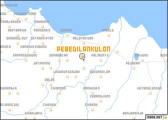
Nearby towns ::
Pabedilan-wetan (0.0km north) //
Babakan-losari (1.9km south) //
Kalibuntu (3.7km east) //
Babakan (3.7km west) //
Pelayangan (3.7km north) //
Ciledug (4.1km south west) //
Dukuhsalam (5.2km south east) //
Leuweunggajah (5.2km south west) //
Gembongan (5.5km west) //
Gebang (6.7km north west) //
Randegan (7.6km south) //
Cibogo (7.6km west) //
Losari (7.6km east) //
Ambulu (7.8km north east) //
Cikancas (9.2km south west) //
Waled (9.2km south west) //
[all distances 'as the bird flies' and approximate] 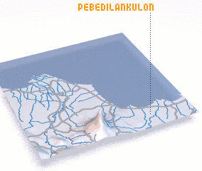 Places with similar names to Pebedilan-kulon, Indonesia :: Disclaimer :: Information on this page comes without warranty of any kind |
||
|
Where is Pebedilan-kulon? Elevation and coordinates ::
Latitude (lat): 6°52'0"S Longitude (lon): 108°45'0"E
Elevation (approx.): 10m (map arrows pan, magnifying glasses zoom) |
||
|
Visiting Pebedilan-kulon? Hotel/Accommodation ::
Book a hotel in Pebedilan-kulon Travel Guide ::
Buy a travel guide for Indonesia rental cars ::
car rental offers GPS waypoint ::
download a GPX waypoint (PoI) of Pebedilan-kulon for your GPS receiver
|
||