|
search place name
|
||
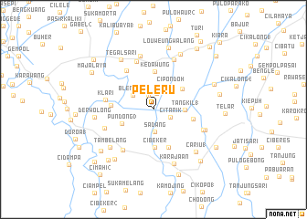
Peleru (Indonesia)Peleru is a town in Indonesia. An overview map of the region around Peleru is displayed below.
regional and 3d topo map of Peleru, Indonesia ::
Peleru airports ::
The nearest airport is CGK - Jakarta Soekarno Hatta Intl, located 89.1 km west of Peleru.
Nearby towns ::
Selang (1.8km north) //
Rawdengan (2.0km north) //
Citarik (2.2km south east) //
Sadang (2.8km south) //
Pelewan 2 (2.9km north) //
Blendung (3.0km north west) //
Cipondoh (3.5km north east) //
Tangkil 1 (3.9km east) //
Pundong 3 (4.2km south west) //
Gipondok (4.3km north east) //
Cibeker (4.6km south) //
Kedawung (4.7km north) //
Dawuan 1 (5.0km south) //
Parakan 1 (5.0km east) //
Calung (5.2km west) //
Cariu (5.7km north west) //
Klari (5.9km west) //
Kosambi (6.2km south west) //
Ranca (6.2km north) //
Cengkong (6.4km west) //
Sarengseng 1 (6.5km south east) //
Wadas (6.6km north) //
Cilewo (6.7km north) //
Batucuru (6.7km east) //
Tambelang (7.0km south west) //
Karajaan (7.1km south) //
Derwolong (7.2km west) //
Tegalsari (7.3km north west) //
Cariu 1 (7.3km south east) //
[all distances 'as the bird flies' and approximate] 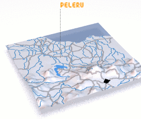 Places with similar names to Peleru, Indonesia ::
Disclaimer :: Information on this page comes without warranty of any kind |
||
|
Where is Peleru? Elevation and coordinates ::
Latitude (lat): 6°20'31"S Longitude (lon): 107°25'53"E
Elevation (approx.): 17m (map arrows pan, magnifying glasses zoom) |
||
|
Visiting Peleru? Hotel/Accommodation ::
Book a hotel in Peleru Travel Guide ::
Buy a travel guide for Indonesia rental cars ::
car rental offers GPS waypoint ::
download a GPX waypoint (PoI) of Peleru for your GPS receiver
|
||