|
search place name
|
||
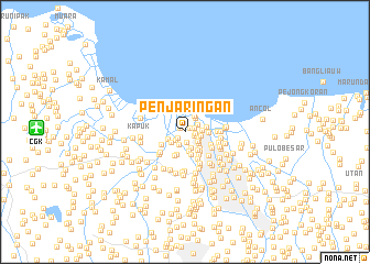
Penjaringan (Indonesia)Penjaringan is a town in Indonesia. An overview map of the region around Penjaringan is displayed below.
regional and 3d topo map of Penjaringan, Indonesia ::
Penjaringan airports ::
The nearest airport is CGK - Jakarta Soekarno Hatta Intl, located 14.9 km west of Penjaringan.
Nearby towns ::
Muarakarang (0.6km north west) //
Pekulitan (0.6km north east) //
Tanjungmangi (0.9km south west) //
Baru (1.0km east) //
Pluit (1.1km east) //
Gedongpanjang (1.1km east) //
Jembatangambang (1.1km south) //
Jembatantiga (1.3km south west) //
Kampungur (1.4km south west) //
Luarbatang (1.5km north east) //
Kalimati (1.5km south east) //
Pejagalan (1.6km south east) //
Angke (1.7km south) //
Malaka (1.7km east) //
Pasar Ikan (1.8km north east) //
Berok (1.8km east) //
Kongsibesar (1.8km south east) //
Telukgong (1.8km south west) //
Sundakelapa (1.9km north east) //
Muaraangke (1.9km west) //
Jembatan Dua (2.0km south) //
Jembatanlima (2.2km south east) //
Trate (2.2km south east) //
Japat (2.3km east) //
Kebonsayur (2.4km south) //
Kramat (2.4km south) //
Pasarpisang (2.4km east) //
Kampungsawah (2.5km south east) //
Jalambar (2.6km south west) //
[all distances 'as the bird flies' and approximate] 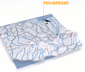 Places with similar names to Penjaringan, Indonesia :: Disclaimer :: Information on this page comes without warranty of any kind |
||
|
Where is Penjaringan? Elevation and coordinates ::
Latitude (lat): 6°7'46"S Longitude (lon): 106°47'26"E
Elevation (approx.): 1m (map arrows pan, magnifying glasses zoom) |
||
|
Visiting Penjaringan? Hotel/Accommodation ::
Book a hotel in Penjaringan Travel Guide ::
Buy a travel guide for Indonesia rental cars ::
car rental offers GPS waypoint ::
download a GPX waypoint (PoI) of Penjaringan for your GPS receiver
|
||