|
search place name
|
||
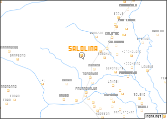
Salolina (Indonesia)Salolina is a town in Indonesia. An overview map of the region around Salolina is displayed below.
regional and 3d topo map of Salolina, Indonesia ::
Salolina airports ::
The nearest airport is PSJ - Poso Kasiguncu, located 160.9 km north of Salolina.
Other airports nearby include PLW - Palu Mutiara (205.7 km north), Nearby towns ::
Mamara (3.2km south east) //
Lummi (4.3km north east) //
Topondan (4.3km south) //
Tobakun (4.8km east) //
Pussun (5.6km south) //
Pangsoe (5.9km north east) //
Paraboting (5.9km north east) //
Kanan (6.7km south west) //
Padangkalua (7.4km south) //
Makawa (7.6km east) //
Seponbuntu (7.8km east) //
Saluampa (7.9km north east) //
Kalotok (8.1km north east) //
Padangdurian (8.2km south) //
Lamasi (8.8km south east) //
Walenrang (8.9km south) //
Kampungbaru (9.8km north east) //
Buangin (10.5km north east) //
Dandang (10.6km north east) //
Gerumbul (10.8km south east) //
Harapan (10.8km south east) //
Seriti (11.7km south east) //
[all distances 'as the bird flies' and approximate] 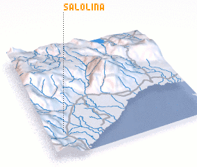 Places with similar names to Salolina, Indonesia ::
// Sihlahleni (ZA)
// Zihlahleni (ZA)
// Cililin (ID)
// Silaloni (KE)
// Selūlān (IR)
// Sol y Luna (VE)
// Sululuni (BO)
Disclaimer :: Information on this page comes without warranty of any kind |
||
|
Where is Salolina? Elevation and coordinates ::
Latitude (lat): 2°46'0"S Longitude (lon): 120°7'0"E
Elevation (approx.): 159m (map arrows pan, magnifying glasses zoom) |
||
|
Visiting Salolina? Hotel/Accommodation ::
Book a hotel in Salolina Travel Guide ::
Buy a travel guide for Indonesia rental cars ::
car rental offers GPS waypoint ::
download a GPX waypoint (PoI) of Salolina for your GPS receiver
|
||