|
search place name
|
||
Sembung (Indonesia)Sembung is a town in Indonesia. An overview map of the region around Sembung is displayed below.
regional and 3d topo map of Sembung, Indonesia ::
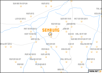
Nearby towns ::
Tanggunan (0.0km north) //
Pelem (2.6km north east) //
Perak (2.6km north west) //
Kesemen (3.7km south) //
Ngrandu (4.1km north east) //
Gudo (4.1km south east) //
Jabon (5.8km east) //
Rembug (5.9km south) //
Wangkal (5.8km west) //
Diwek (7.3km east) //
Kertosono (7.3km west) //
Patianrowo (7.6km west) //
Kunjang (7.6km south) //
Denanyar (7.8km north east) //
Kaweden (7.8km south east) //
Blimbing (7.8km south east) //
Jombang (8.2km north east) //
Cukir (8.2km south east) //
Munung (10.4km north west) //
Purwosari (10.4km south west) //
[all distances 'as the bird flies' and approximate] 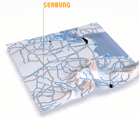 Places with similar names to Sembung, Indonesia ::
Disclaimer :: Information on this page comes without warranty of any kind |
||
|
Where is Sembung? Elevation and coordinates ::
Latitude (lat): 7°35'0"S Longitude (lon): 112°10'0"E
Elevation (approx.): 48m (map arrows pan, magnifying glasses zoom) |
||
|
Visiting Sembung? Hotel/Accommodation ::
Book a hotel in Sembung Travel Guide ::
Buy a travel guide for Indonesia rental cars ::
car rental offers GPS waypoint ::
download a GPX waypoint (PoI) of Sembung for your GPS receiver
|
||