|
search place name
|
||
Sengaya (Indonesia)Sengaya is a town in Indonesia. An overview map of the region around Sengaya is displayed below.
regional and 3d topo map of Sengaya, Indonesia ::

Sengaya airports ::
The nearest airport is TWU - Tawau, located 233.1 km north east of Sengaya.
Other airports nearby include LMN - Limbang (233.3 km north west), BWN - Brunei Intl (250.7 km north west), LDU - Lahad Datu (299.7 km north east), Nearby towns ::
[all distances 'as the bird flies' and approximate] 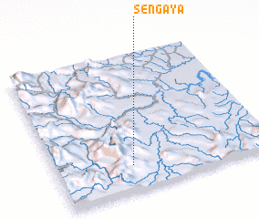 Places with similar names to Sengaya, Indonesia ::
// Sainggya (MM)
// Saunggyi (MM)
// Şenkaya (TR)
// Sénokayé (BF)
// Sienkoueye (BF)
// Sangouya (CF)
// Sincuya (SV)
// Sangaye (SN)
// Sankouya (SN)
// Séni Guèye (SN)
Disclaimer :: Information on this page comes without warranty of any kind |
||
|
Where is Sengaya? Elevation and coordinates ::
Latitude (lat): 3°11'0"N Longitude (lon): 116°21'0"E
Elevation (approx.): 374m (map arrows pan, magnifying glasses zoom) |
||
|
Visiting Sengaya? Hotel/Accommodation ::
Book a hotel in Sengaya Travel Guide ::
Buy a travel guide for Indonesia rental cars ::
car rental offers GPS waypoint ::
download a GPX waypoint (PoI) of Sengaya for your GPS receiver
|
||