|
search place name
|
||
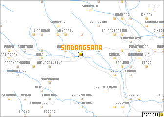
Sindangsana (Indonesia)Sindangsana is a town in Indonesia. An overview map of the region around Sindangsana is displayed below.
regional and 3d topo map of Sindangsana, Indonesia ::
Sindangsana airports ::
The nearest airport is CGK - Jakarta Soekarno Hatta Intl, located 210.5 km north west of Sindangsana.
Nearby towns ::
Mangunreja (1.8km west) //
Singaparna (1.9km north) //
Sukamanah (4.1km north west) //
Cikuray (4.1km north east) //
Ceungceum (5.6km north) //
Jayaratu (6.7km north west) //
Karkil (7.4km east) //
Warungpeuteuy (7.6km west) //
Leuwisari (7.8km north west) //
Cijaringao (8.2km south east) //
Rancapaku (8.3km north east) //
Ranca-tengah (9.2km south east) //
Dugaleun (9.2km north west) //
Sukaraja (9.2km north west) //
Tawangbanteng (9.2km north east) //
Puspahiang (9.2km south west) //
[all distances 'as the bird flies' and approximate] 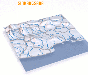 Places with similar names to Sindangsana, Indonesia ::
// Sindongsan (KR)
Disclaimer :: Information on this page comes without warranty of any kind |
||
|
Where is Sindangsana? Elevation and coordinates ::
Latitude (lat): 7°22'0"S Longitude (lon): 108°6'0"E
Elevation (approx.): 411m (map arrows pan, magnifying glasses zoom) |
||
|
Visiting Sindangsana? Hotel/Accommodation ::
Book a hotel in Sindangsana Travel Guide ::
Buy a travel guide for Indonesia rental cars ::
car rental offers GPS waypoint ::
download a GPX waypoint (PoI) of Sindangsana for your GPS receiver
|
||