|
search place name
|
||
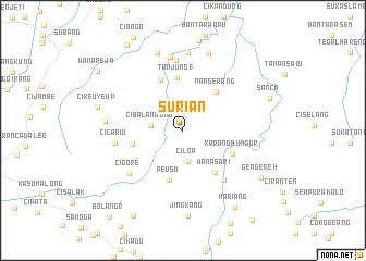
Surian (Indonesia)Surian is a town in Indonesia. An overview map of the region around Surian is displayed below.
regional and 3d topo map of Surian, Indonesia ::
Surian airports ::
The nearest airport is CGK - Jakarta Soekarno Hatta Intl, located 145.0 km north west of Surian.
Nearby towns ::
Ciloa (3.2km south) //
Cibalandong (3.3km west) //
Peusa (5.2km south) //
Nangerang (5.3km north east) //
Cijoged (5.3km west) //
Wanasari (5.4km south east) //
Tanjung 1 (5.5km north) //
Karangbungur (5.6km south east) //
Sadawarna (5.7km north west) //
Bobos (6.5km south east) //
Cigore (7.0km south west) //
Cimenteng (7.0km west) //
Cicariu (7.0km west) //
Cijambe 1 (7.2km north) //
Dukuh (7.7km north) //
Babakan Tengah (8.0km north) //
Cidadap (8.0km west) //
Kelapadua (8.4km north) //
Yengah (8.4km north) //
Jingkang (8.8km south) //
Cikeuyeup (9.1km west) //
Gendereh (9.3km south east) //
Sanca (9.4km east) //
Hariang (9.5km south east) //
Cipatra (10.1km south west) //
Cipaku (10.5km north west) //
Wanareja (10.7km north west) //
Bolang 1 (11.6km south west) //
[all distances 'as the bird flies' and approximate] 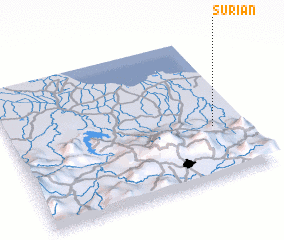 Places with similar names to Surian, Indonesia ::
Disclaimer :: Information on this page comes without warranty of any kind |
||
|
Where is Surian? Elevation and coordinates ::
Latitude (lat): 6°38'17"S Longitude (lon): 107°51'45"E
Elevation (approx.): 217m (map arrows pan, magnifying glasses zoom) |
||
|
Visiting Surian? Hotel/Accommodation ::
Book a hotel in Surian Travel Guide ::
Buy a travel guide for Indonesia rental cars ::
car rental offers GPS waypoint ::
download a GPX waypoint (PoI) of Surian for your GPS receiver
|
||