|
search place name
|
||
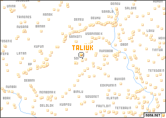
Taliuk (Nusa Tenggara Timur, Indonesia)Taliuk is a town in the Nusa Tenggara Timur region of Indonesia. An overview map of the region around Taliuk is displayed below.
regional and 3d topo map of Taliuk, Indonesia ::
Taliuk airports ::
The nearest airport is DIL - Dili Presidente Nicolau Lobato Intl, located 122.8 km north east of Taliuk.
Nearby towns ::
Bikasnowef (0.4km south) //
Lebeo (0.6km east) //
Soi (1.7km south west) //
Nunhala (1.9km south west) //
Nii (1.9km north east) //
Haumuti (2.0km south west) //
Oenopu (2.4km south east) //
Tahbesi (2.4km east) //
Besanaik (2.7km south) //
Feo (2.9km south east) //
Usapiana (2.9km east) //
Usapikole (3.0km north) //
Kofeu (3.2km north east) //
Kokfeo (3.3km north) //
Oenaktuka (3.4km north east) //
Seko (3.4km north east) //
Senesejau (3.4km north east) //
Haumalae (3.4km south) //
Tubuhue (3.8km north east) //
Insaka (3.9km south) //
Manumetan (3.8km south east) //
Rantete (4.2km south) //
Sankoti (4.3km north) //
Fatsalin (4.3km north) //
Tuatoo (4.4km north east) //
Takas (4.4km south east) //
Neamutu (4.5km south east) //
Nurobo a (4.8km east) //
Raimuti (4.8km east) //
[all distances 'as the bird flies' and approximate] 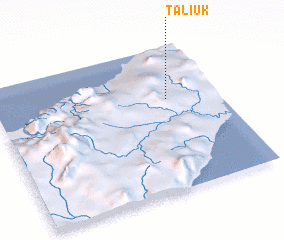 Places with similar names to Taliuk, Indonesia ::
Disclaimer :: Information on this page comes without warranty of any kind |
||
|
Where is Taliuk? Elevation and coordinates ::
Latitude (lat): 9°21'50"S Longitude (lon): 124°46'10"E
Elevation (approx.): 514m (map arrows pan, magnifying glasses zoom) |
||
|
Visiting Taliuk? Hotel/Accommodation ::
Book a hotel in Taliuk Travel Guide ::
Buy a travel guide for Indonesia rental cars ::
car rental offers GPS waypoint ::
download a GPX waypoint (PoI) of Taliuk for your GPS receiver
|
||