|
search place name
|
||
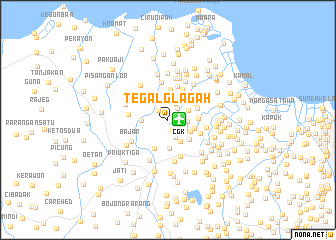
Tegalglagah (Indonesia)Tegalglagah is a town in Indonesia. An overview map of the region around Tegalglagah is displayed below.
regional and 3d topo map of Tegalglagah, Indonesia ::
Tegalglagah airports ::
The nearest airport is CGK - Jakarta Soekarno Hatta Intl, located 1.3 km east of Tegalglagah.
Nearby towns ::
Kongsibaru (0.7km east) //
Rawakatipes (1.0km east) //
Kampungkosong (1.2km south) //
Rawabagol (1.3km east) //
Selapajang (1.5km north west) //
Rawajati (1.7km north east) //
Tukangkajang (2.0km north east) //
Kandangsapi (2.1km east) //
Pinggirutan (2.1km east) //
Kampungteko (2.2km south) //
Karet (2.3km south east) //
Rawarengas (2.5km north east) //
Bojongrenged (2.5km north) //
Pintukapuk (2.5km north) //
Belendung (2.8km south east) //
Bubulak (2.8km south east) //
Kedawung-wetan (2.9km west) //
Kampungasem (3.0km east) //
Batuceper (3.2km south east) //
Kampungutan (3.2km south) //
Tanjakan (3.3km north east) //
Djurumudi (3.4km east) //
Rawalini (3.4km north) //
Rawaburung (3.4km north east) //
Parungkuda (3.6km south west) //
Rawabokor (3.6km east) //
Benda (3.6km north east) //
Alang-besar (3.6km north east) //
Alang-kecil (3.8km north east) //
[all distances 'as the bird flies' and approximate] 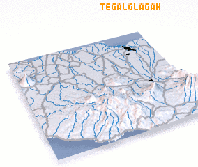 Places with similar names to Tegalglagah, Indonesia :: Disclaimer :: Information on this page comes without warranty of any kind |
||
|
Where is Tegalglagah? Elevation and coordinates ::
Latitude (lat): 6°7'35"S Longitude (lon): 106°38'39"E
Elevation (approx.): 10m (map arrows pan, magnifying glasses zoom) |
||
|
Visiting Tegalglagah? Hotel/Accommodation ::
Book a hotel in Tegalglagah Travel Guide ::
Buy a travel guide for Indonesia rental cars ::
car rental offers GPS waypoint ::
download a GPX waypoint (PoI) of Tegalglagah for your GPS receiver
|
||