|
search place name
|
||
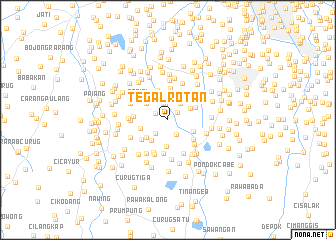
Tegalrotan (Indonesia)Tegalrotan is a town in Indonesia. An overview map of the region around Tegalrotan is displayed below.
regional and 3d topo map of Tegalrotan, Indonesia ::
Tegalrotan airports ::
The nearest airport is CGK - Jakarta Soekarno Hatta Intl, located 18.8 km north west of Tegalrotan.
Nearby towns ::
Peladen (1.3km north east) //
Pondokpucung (1.5km north west) //
Bulakbumi (1.9km south east) //
Jurangmanggu (1.9km north) //
Jombang (2.1km south west) //
Pondokblimbing (2.4km north) //
Mencil (2.4km north east) //
Pondokkranji (2.9km north east) //
Saruadukuh (2.9km south) //
Cilalung (2.9km south west) //
Pondokaren (3.0km north west) //
Pondokjengkol (3.0km north west) //
Pondokjati (3.0km north west) //
Kampunggunung (3.0km south west) //
Ceger (3.1km north) //
Kampungutan (3.1km south east) //
Jombang-kulon (3.2km west) //
Pondoklang (3.4km north east) //
Poncol (3.5km south east) //
Bantenan (3.5km north) //
Poncol (3.6km north) //
Pondokkeso (3.7km south west) //
Pabuatan (3.8km south) //
Perigi-wetan (3.8km west) //
Perigi (3.8km north west) //
Ciputa (4.0km south east) //
Marugak (4.0km south west) //
Kedawung (4.1km south east) //
Parungbeunying (4.1km south) //
[all distances 'as the bird flies' and approximate] 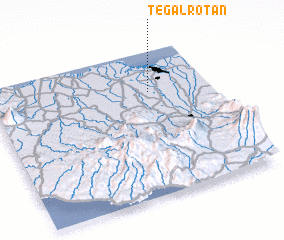 Places with similar names to Tegalrotan, Indonesia ::
// Ticklerton (GB)
Disclaimer :: Information on this page comes without warranty of any kind |
||
|
Where is Tegalrotan? Elevation and coordinates ::
Latitude (lat): 6°16'58"S Longitude (lon): 106°43'17"E
Elevation (approx.): 37m (map arrows pan, magnifying glasses zoom) |
||
|
Visiting Tegalrotan? Hotel/Accommodation ::
Book a hotel in Tegalrotan Travel Guide ::
Buy a travel guide for Indonesia rental cars ::
car rental offers GPS waypoint ::
download a GPX waypoint (PoI) of Tegalrotan for your GPS receiver
|
||