|
search place name
|
||
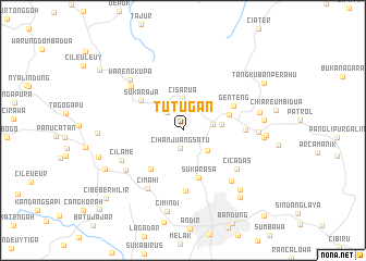
Tutugan (Jawa Barat, Indonesia)Tutugan is a town in the Jawa Barat region of Indonesia. An overview map of the region around Tutugan is displayed below.
regional and 3d topo map of Tutugan, Indonesia ::
Tutugan airports ::
The nearest airport is CGK - Jakarta Soekarno Hatta Intl, located 127.9 km north west of Tutugan.
Nearby towns ::
Cihanjuang Satu (1.8km south) //
Panjadakan (2.4km north west) //
Bongkor (3.1km east) //
Tegalharendong (3.1km north east) //
Cisarua (3.2km north) //
Padasul (3.3km south east) //
Batureo Satu (4.0km east) //
Lembang (5.0km east) //
Citeureup Satu (5.1km south west) //
Sukarasa (5.2km south) //
Sukaraja (5.3km north west) //
Genteng (5.7km north east) //
Cituja (6.2km south) //
Bongkar Dua (6.4km east) //
Cicadas (6.7km south east) //
Cipada (6.9km north west) //
Cimahi (7.0km south west) //
Cilame (7.0km south west) //
Dago (7.1km south east) //
Gadobangkong (7.2km south west) //
Warengkupa (7.5km north west) //
Cikidang Satu (7.7km east) //
Cibogo (8.0km east) //
Bengkok (8.3km east) //
Cigadung (8.4km south east) //
Leuweungdatar (8.4km east) //
Cimindi (8.4km south) //
Maribaya (8.5km east) //
Ngamprah (8.7km west) //
[all distances 'as the bird flies' and approximate] 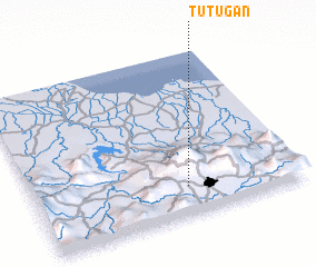 Places with similar names to Tutugan, Indonesia ::
Disclaimer :: Information on this page comes without warranty of any kind |
||
|
Where is Tutugan? Elevation and coordinates ::
Latitude (lat): 6°49'36"S Longitude (lon): 107°34'30"E
Elevation (approx.): 1140m (map arrows pan, magnifying glasses zoom) |
||
|
Visiting Tutugan? Hotel/Accommodation ::
Book a hotel in Tutugan Travel Guide ::
Buy a travel guide for Indonesia rental cars ::
car rental offers GPS waypoint ::
download a GPX waypoint (PoI) of Tutugan for your GPS receiver
|
||