|
search place name
|
||
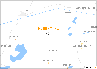
Alabaytal (Kökshetaū, Kazakhstan)Alabaytal is a town in the Kökshetaū region of Kazakhstan. An overview map of the region around Alabaytal is displayed below.
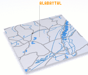
regional and 3d topo map of Alabaytal, Kazakhstan ::
Alabaytal airports ::
The nearest airport is URA - Uralsk, located 96.1 km north east of Alabaytal.
Nearby towns ::
 Places with similar names to Alabaytal, Kazakhstan ::
// Al Baddālah (EG)
// Albuţele (RO)
// Alabaytal (RU)
// Alobaytal (TJ)
// Al ‘Abādlah (EG)
// ‘Alīābād-e A‘lā' (IR)
// ‘Alīābād-e Ālū (IR)
// ‘Alī Badal (IR)
// Al Baţţāl (LB)
// ‘Alī ‘Abd Allāh (YE)
Disclaimer :: Information on this page comes without warranty of any kind |
||
|
Where is Alabaytal? Elevation and coordinates ::
Latitude (lat): 50°38'0"N Longitude (lon): 50°27'0"E
Elevation (approx.): 15m (map arrows pan, magnifying glasses zoom) |
||
|
Visiting Alabaytal? Hotel/Accommodation ::
Book a hotel in Alabaytal Travel Guide ::
Buy a travel guide for Kazakhstan rental cars ::
car rental offers GPS waypoint ::
download a GPX waypoint (PoI) of Alabaytal for your GPS receiver
|
||