|
search place name
|
||
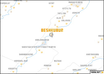
(( Besh-Kubur )) (Ongtüstik Qazaqstan, Kazakhstan)(( Besh-Kubur )) is a town in the Ongtüstik Qazaqstan region of Kazakhstan. An overview map of the region around (( Besh-Kubur )) is displayed below.
regional and 3d topo map of (( Besh-Kubur )), Kazakhstan ::
(( Besh-Kubur )) airports ::
The nearest airport is TAS - Tashkent Yuzhny, located 37.8 km east of (( Besh-Kubur )).
Other airports nearby include CIT - Chimkent Shymkent (138.3 km north east), SKD - Samarkand (230.1 km south west), Nearby towns ::
(( Kyrk-Churak )) (1.9km north) //
Birlesu (2.6km north east) //
Vtoraya Pyatiletka (3.1km north) //
Karla Marksa (3.3km south west) //
(( Dzhulumbet )) (4.0km north) //
(( Mirzatay )) (4.0km north) //
Makhtashy (4.5km north) //
Klim (6.1km north) //
Shestidesyatiletiya Oktyabrya (5.9km south west) //
(( Daymaut )) (6.2km south west) //
Kalinino (6.2km north east) //
Zhana-Konys (7.5km north) //
(( Taylyak )) (7.9km north) //
Dzhambul (8.5km north east) //
Ushkyn (10.2km north east) //
[all distances 'as the bird flies' and approximate] 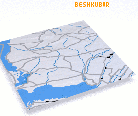 Places with similar names to (( Besh-Kubur )), Kazakhstan :: Disclaimer :: Information on this page comes without warranty of any kind |
||
|
Where is (( Besh-Kubur ))? Elevation and coordinates ::
Latitude (lat): 41°13'0"N Longitude (lon): 68°50'0"E
Elevation (approx.): 313m (map arrows pan, magnifying glasses zoom) |
||
|
Visiting (( Besh-Kubur ))? Hotel/Accommodation ::
Book a hotel in (( Besh-Kubur )) Travel Guide ::
Buy a travel guide for Kazakhstan rental cars ::
car rental offers GPS waypoint ::
download a GPX waypoint (PoI) of (( Besh-Kubur )) for your GPS receiver
|
||