|
search place name
|
||
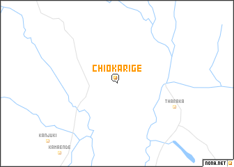
Chiokarige (Eastern, Kenya)Chiokarige is a town in the Eastern region of Kenya. An overview map of the region around Chiokarige is displayed below.
regional and 3d topo map of Chiokarige, Kenya ::
Chiokarige airports ::
The nearest airport is WIL - Nairobi Wilson, located 170.6 km south west of Chiokarige.
Nearby towns ::
[all distances 'as the bird flies' and approximate]  Places with similar names to Chiokarige, Kenya ::
// Chāh Gorgī (IR)
// Chak Rāja (BD)
// Chaquirojá (GT)
// Sheykh Rajeh (IR)
// Chak Rāja (PK)
// Chak Rāja (PK)
// Shaikh Rāj (PK)
Disclaimer :: Information on this page comes without warranty of any kind |
||
|
Where is Chiokarige? Elevation and coordinates ::
Latitude (lat): 0°16'0"S Longitude (lon): 37°56'0"E
Elevation (approx.): 1066m (map arrows pan, magnifying glasses zoom) |
||
|
Visiting Chiokarige? Hotel/Accommodation ::
Book a hotel in Chiokarige Travel Guide ::
Buy a travel guide for Kenya rental cars ::
car rental offers GPS waypoint ::
download a GPX waypoint (PoI) of Chiokarige for your GPS receiver
|
||