|
search place name
|
||
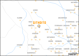
Githoito (Central, Kenya)Githoito is a town in the Central region of Kenya. An overview map of the region around Githoito is displayed below.
regional and 3d topo map of Githoito, Kenya ::
Githoito airports ::
The nearest airport is WIL - Nairobi Wilson, located 43.3 km south east of Githoito.
Other airports nearby include EDL - Eldoret Intl (218.3 km north west), KIS - Kisumu (235.0 km north west), KTL - Kitale (285.3 km north west), Nearby towns ::
Kambaa (1.9km south) //
Kereita (1.9km west) //
Kimende (2.6km south west) //
Kerita (2.6km south west) //
Mbauini (3.7km west) //
Mweri (4.1km south east) //
Magina (4.1km north west) //
Gichiengo (4.1km north west) //
Kirenga (4.1km south west) //
Githioroni (5.6km south) //
Githerioni (5.6km south) //
Gitwamba (5.9km east) //
Lari (5.9km south) //
Escarpment (6.7km south west) //
Kinari (7.6km north) //
Gatwamba (7.9km south east) //
Kinari (8.3km north west) //
Kagaa (9.3km south east) //
Kamahia (10.5km south east) //
[all distances 'as the bird flies' and approximate] 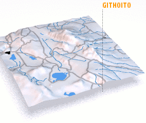 Places with similar names to Githoito, Kenya :: Disclaimer :: Information on this page comes without warranty of any kind |
||
|
Where is Githoito? Elevation and coordinates ::
Latitude (lat): 0°58'0"S Longitude (lon): 36°39'0"E
Elevation (approx.): 2430m (map arrows pan, magnifying glasses zoom) |
||
|
Visiting Githoito? Hotel/Accommodation ::
Book a hotel in Githoito Travel Guide ::
Buy a travel guide for Kenya rental cars ::
car rental offers GPS waypoint ::
download a GPX waypoint (PoI) of Githoito for your GPS receiver
|
||