|
search place name
|
||
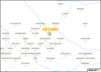
Kathari (Eastern, Kenya)Kathari is a town in the Eastern region of Kenya. An overview map of the region around Kathari is displayed below.
regional and 3d topo map of Kathari, Kenya ::
Kathari airports ::
The nearest airport is WIL - Nairobi Wilson, located 134.3 km south west of Kathari.
Nearby towns ::
Gakwegore (2.6km south west) //
Kathungure (3.7km south) //
Kigumo (4.1km south east) //
Chiananda (4.1km south east) //
Gichiche (4.1km south west) //
Kathungure (4.1km south east) //
Kibugwa (4.1km north east) //
Kagaare (5.2km south west) //
Kegaa (5.2km south west) //
Kiangungi (5.2km north west) //
Gichera (5.6km south) //
Gitare (5.6km west) //
Rukuriri (5.9km west) //
Kanja (7.6km west) //
Gekuuri (7.9km south west) //
Kevote (8.3km south west) //
Karurumo (9.3km south east) //
Chuka (9.3km north east) //
Kawanjaro (9.3km south west) //
Kangethia (9.3km south west) //
[all distances 'as the bird flies' and approximate] 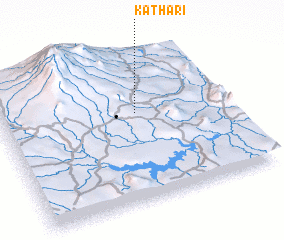 Places with similar names to Kathari, Kenya ::
Disclaimer :: Information on this page comes without warranty of any kind |
||
|
Where is Kathari? Elevation and coordinates ::
Latitude (lat): 0°24'0"S Longitude (lon): 37°36'0"E
Elevation (approx.): 1446m (map arrows pan, magnifying glasses zoom) |
||
|
Visiting Kathari? Hotel/Accommodation ::
Book a hotel in Kathari Travel Guide ::
Buy a travel guide for Kenya rental cars ::
car rental offers GPS waypoint ::
download a GPX waypoint (PoI) of Kathari for your GPS receiver
|
||