|
search place name
|
||
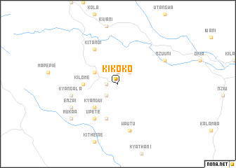
Kikoko (Eastern, Kenya)Kikoko is a town in the Eastern region of Kenya. An overview map of the region around Kikoko is displayed below.
regional and 3d topo map of Kikoko, Kenya ::
Kikoko airports ::
The nearest airport is WIL - Nairobi Wilson, located 82.5 km north west of Kikoko.
Other airports nearby include JRO - Kilimanjaro Intl (183.4 km south), ARK - Arusha (192.4 km south west), Nearby towns ::
Nunguni (1.9km west) //
Katulye (1.9km north) //
Kithangathini (2.6km south west) //
Inyokoni (2.6km north east) //
Ithemboni (4.1km north west) //
Kyandui (5.2km south west) //
Kilome (5.6km west) //
Kitaingo (5.9km south) //
Upete (6.7km south west) //
Kitandi (6.7km north west) //
Kyangala (7.6km west) //
Wautu (7.6km south) //
Enzai (8.3km south west) //
Nzuuni (8.3km north east) //
Mukaa (9.3km south west) //
[all distances 'as the bird flies' and approximate] 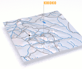 Places with similar names to Kikoko, Kenya ::
Disclaimer :: Information on this page comes without warranty of any kind |
||
|
Where is Kikoko? Elevation and coordinates ::
Latitude (lat): 1°48'0"S Longitude (lon): 37°23'0"E
Elevation (approx.): 1862m (map arrows pan, magnifying glasses zoom) |
||
|
Visiting Kikoko? Hotel/Accommodation ::
Book a hotel in Kikoko Travel Guide ::
Buy a travel guide for Kenya rental cars ::
car rental offers GPS waypoint ::
download a GPX waypoint (PoI) of Kikoko for your GPS receiver
|
||