|
search place name
|
||
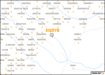
Kiunya (Central, Kenya)Kiunya is a town in the Central region of Kenya. An overview map of the region around Kiunya is displayed below.
regional and 3d topo map of Kiunya, Kenya ::
Kiunya airports ::
The nearest airport is WIL - Nairobi Wilson, located 46.8 km south west of Kiunya.
Other airports nearby include EDL - Eldoret Intl (248.2 km north west), Nearby towns ::
Mugumoini (3.7km west) //
Kiranga (4.1km north east) //
Kihumbuini (4.1km north west) //
Gituamba (4.1km north west) //
Mununga (4.1km south west) //
Thuita (5.2km north west) //
Gatitu (5.9km north) //
Gakarara (5.9km north) //
Kandara (5.9km north) //
Gatanga (5.9km west) //
Makwa (5.9km west) //
Kagunduini (6.7km north east) //
Gatukuyu (6.7km south west) //
Ruchu (6.7km north west) //
Kigio (7.4km west) //
Karimamwaro (7.4km north) //
Kirwara (7.6km west) //
Gathangwi (7.6km west) //
Mbari (7.6km west) //
Gituamba (7.6km west) //
Wangai (7.9km north east) //
Kibanguini (7.9km south west) //
Githunguri (8.3km north east) //
Gaichanjiru (8.3km north east) //
Kimunyu (8.3km south west) //
Mukurue (9.3km north west) //
Mangu (9.3km south west) //
Kaguthi (9.3km north west) //
Mukuruwe (10.5km south west) //
[all distances 'as the bird flies' and approximate] 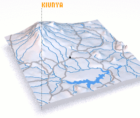 Places with similar names to Kiunya, Kenya ::
Disclaimer :: Information on this page comes without warranty of any kind |
||
|
Where is Kiunya? Elevation and coordinates ::
Latitude (lat): 0°57'0"S Longitude (lon): 37°1'0"E
Elevation (approx.): 1585m (map arrows pan, magnifying glasses zoom) |
||
|
Visiting Kiunya? Hotel/Accommodation ::
Book a hotel in Kiunya Travel Guide ::
Buy a travel guide for Kenya rental cars ::
car rental offers GPS waypoint ::
download a GPX waypoint (PoI) of Kiunya for your GPS receiver
|
||