|
search place name
|
||
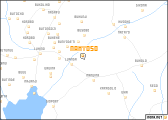
Namyoso (Western, Kenya)Namyoso is a town in the Western region of Kenya. An overview map of the region around Namyoso is displayed below.
regional and 3d topo map of Namyoso, Kenya ::
Namyoso airports ::
The nearest airport is KIS - Kisumu, located 84.5 km south east of Namyoso.
Other airports nearby include KTL - Kitale (121.4 km north east), EDL - Eldoret Intl (129.0 km east), SRT - Soroti (164.2 km north), EBB - Entebbe Intl (185.0 km west), Nearby towns ::
Luanda (2.9km west) //
Bulwenge (4.2km north) //
Bunyadeti (4.8km north west) //
Nangina (5.0km south east) //
Bunyide (5.5km west) //
Busobo (5.6km north) //
Khasyule (5.9km west) //
Nakhayaka (7.3km west) //
Buhehe (7.6km north west) //
Dadira (8.0km west) //
Bukhasaba (8.2km north west) //
Budimu (8.3km south west) //
Bumunji (8.5km north) //
Karadolo (9.3km south east) //
Busikho (9.8km north west) //
Butangazi (9.9km north west) //
Lumino (10.4km north east) //
[all distances 'as the bird flies' and approximate] 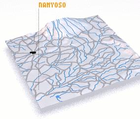
Disclaimer :: Information on this page comes without warranty of any kind |
||
|
Where is Namyoso? Elevation and coordinates ::
Latitude (lat): 0°19'0"S Longitude (lon): 34°5'0"E
Elevation (approx.): 1162m (map arrows pan, magnifying glasses zoom) |
||
|
Visiting Namyoso? Hotel/Accommodation ::
Book a hotel in Namyoso Travel Guide ::
Buy a travel guide for Kenya rental cars ::
car rental offers GPS waypoint ::
download a GPX waypoint (PoI) of Namyoso for your GPS receiver
|
||