|
search place name
|
||
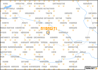
Nyangiti (Central, Kenya)Nyangiti is a town in the Central region of Kenya. An overview map of the region around Nyangiti is displayed below.
regional and 3d topo map of Nyangiti, Kenya ::
Nyangiti airports ::
The nearest airport is WIL - Nairobi Wilson, located 75.3 km south of Nyangiti.
Other airports nearby include EDL - Eldoret Intl (234.8 km north west), Nearby towns ::
Kambara (1.9km north) //
Githunguri (1.9km west) //
Gakoi (2.6km north east) //
Kiamara (2.6km south east) //
Kigumo (3.7km west) //
Gakuyu (3.7km north) //
Kahuhia (3.7km south) //
Chui (4.1km north west) //
Mweru (4.1km north east) //
Mununga (4.1km south west) //
Gacharaigu (4.1km south west) //
Kirogo (4.1km south west) //
Karuri (4.1km south west) //
Mukangu (4.1km south east) //
Gituge (5.2km north west) //
Gathinja (5.2km south west) //
Gituto (5.2km south west) //
Gatundu (5.6km south) //
Gitui (5.6km south) //
Githunguri (5.6km south) //
Karuru One (5.6km south) //
Gathukiini (5.6km north) //
Kiamwenji (5.6km east) //
Karirau (5.9km west) //
Mbari-ya-hiti (5.9km south) //
Karuru Two (5.9km south) //
Gitige (5.9km south) //
Gitaro (5.9km south) //
Gatheru (5.9km south) //
[all distances 'as the bird flies' and approximate] 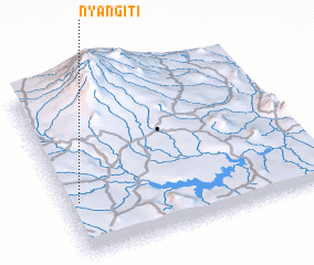 Places with similar names to Nyangiti, Kenya ::
Disclaimer :: Information on this page comes without warranty of any kind |
||
|
Where is Nyangiti? Elevation and coordinates ::
Latitude (lat): 0°41'0"S Longitude (lon): 37°3'0"E
Elevation (approx.): 1581m (map arrows pan, magnifying glasses zoom) |
||
|
Visiting Nyangiti? Hotel/Accommodation ::
Book a hotel in Nyangiti Travel Guide ::
Buy a travel guide for Kenya rental cars ::
car rental offers GPS waypoint ::
download a GPX waypoint (PoI) of Nyangiti for your GPS receiver
|
||