|
search place name
|
||
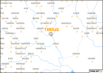
Thanju (Central, Kenya)Thanju is a town in the Central region of Kenya. An overview map of the region around Thanju is displayed below.
regional and 3d topo map of Thanju, Kenya ::
Thanju airports ::
The nearest airport is WIL - Nairobi Wilson, located 84.6 km south west of Thanju.
Other airports nearby include EDL - Eldoret Intl (252.5 km north west), Nearby towns ::
Sagana (4.1km north west) //
Githagoya (4.1km north west) //
Gikuu (4.1km south east) //
Githuri (5.2km south west) //
Kangaru (5.6km north) //
Gacharu (5.9km north) //
Karuri (5.9km west) //
Rurii (5.9km west) //
Kamberua (6.7km south west) //
Kandongu (6.7km north east) //
Kagio (7.6km north) //
Karima (7.9km north west) //
Gacharu (8.3km north west) //
Kameichiri (8.3km north east) //
Wanjii (10.5km south west) //
Kangai (10.5km north east) //
[all distances 'as the bird flies' and approximate] 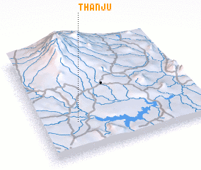 Places with similar names to Thanju, Kenya ::
// Thange (KE)
// Thange (KE)
// Thangi (KE)
// Thongea (FJ)
// Thu-nge (MM)
// Thanh Gi (VN)
// Thanh Giã (VN)
// Thiện Giáo (VN)
// Thôn Nô Giá (VN)
// Thonje (NP)
Disclaimer :: Information on this page comes without warranty of any kind |
||
|
Where is Thanju? Elevation and coordinates ::
Latitude (lat): 0°41'0"S Longitude (lon): 37°14'0"E
Elevation (approx.): 1147m (map arrows pan, magnifying glasses zoom) |
||
|
Visiting Thanju? Hotel/Accommodation ::
Book a hotel in Thanju Travel Guide ::
Buy a travel guide for Kenya rental cars ::
car rental offers GPS waypoint ::
download a GPX waypoint (PoI) of Thanju for your GPS receiver
|
||