|
search place name
|
||
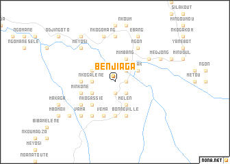
Benjiaga (Woleu-Ntem, Gabon)Benjiaga is a town in the Woleu-Ntem region of Gabon. An overview map of the region around Benjiaga is displayed below.
regional and 3d topo map of Benjiaga, Gabon ::
Benjiaga airports ::
The nearest airport is BMM - Bitam, located 60.3 km west of Benjiaga.
Other airports nearby include OYE - Oyem (80.9 km south west), MKU - Makokou (195.0 km south east), YAO - Yaounde Ville (198.4 km north), Nearby towns ::
Ésong (1.9km south) //
Ovon (1.9km south) //
Ngogalen (1.9km east) //
Évormbilé (1.9km east) //
Andom (1.9km east) //
Bitouga (2.6km north east) //
Minkéné (2.6km south east) //
Nkogalène (3.7km west) //
Andome (4.1km north west) //
Mimbang (4.1km north east) //
Andokas (4.1km south west) //
Bilo (4.1km north east) //
Nsak (4.1km north east) //
Mékomo (4.1km south east) //
Andokasi (4.1km south east) //
Mélen (4.1km south east) //
Nkogassié (5.2km south west) //
Mékomo (5.2km south west) //
Binok (5.6km south) //
Alen (5.6km south) //
Bengiaga (5.6km west) //
Véma (5.9km south) //
Mvolo (5.9km south) //
Bonneville (5.9km south) //
Minkone (5.9km west) //
Mbas (6.7km north east) //
Bindomo (6.7km south west) //
Éboman (6.7km north east) //
Ngon (6.7km north east) //
[all distances 'as the bird flies' and approximate] 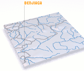 Places with similar names to Benjiaga, Gabon ::
Disclaimer :: Information on this page comes without warranty of any kind |
||
|
Where is Benjiaga? Elevation and coordinates ::
Latitude (lat): 2°7'0"N Longitude (lon): 12°2'0"E
Elevation (approx.): 581m (map arrows pan, magnifying glasses zoom) |
||
|
Visiting Benjiaga? Hotel/Accommodation ::
Book a hotel in Benjiaga Travel Guide ::
Buy a travel guide for Gabon rental cars ::
car rental offers GPS waypoint ::
download a GPX waypoint (PoI) of Benjiaga for your GPS receiver
|
||