|
search place name
|
||
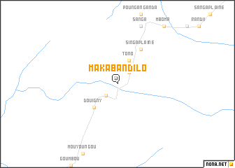
Makaba Ndilo (Nyanga, Gabon)Makaba Ndilo is a town in the Nyanga region of Gabon. An overview map of the region around Makaba Ndilo is displayed below.
regional and 3d topo map of Makaba Ndilo, Gabon ::
Makaba Ndilo airports ::
The nearest airport is PNR - Pointe-noire Pointe Noire, located 227.0 km south east of Makaba Ndilo.
Other airports nearby include OMB - Omboue Hospial Omboue Hopital (238.9 km north west), Nearby towns ::
Moussitou (2.6km north east) //
Sanga Forêt (2.6km north east) //
Mougnimbou (2.6km south west) //
Tono (4.1km north east) //
Miguengui (4.1km north east) //
Douigny (5.2km south west) //
Minguengué (6.7km north east) //
Mouvanga (6.7km north east) //
Singa Plaine (6.7km north east) //
Dilemba (6.7km north east) //
[all distances 'as the bird flies' and approximate] 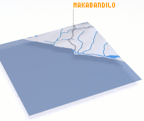 Places with similar names to Makaba Ndilo, Gabon ::
// Makabandilou (CG)
Disclaimer :: Information on this page comes without warranty of any kind |
||
|
Where is Makaba Ndilo? Elevation and coordinates ::
Latitude (lat): 3°4'0"S Longitude (lon): 10°49'0"E
Elevation (approx.): 115m (map arrows pan, magnifying glasses zoom) |
||
|
Visiting Makaba Ndilo? Hotel/Accommodation ::
Book a hotel in Makaba Ndilo Travel Guide ::
Buy a travel guide for Gabon rental cars ::
car rental offers GPS waypoint ::
download a GPX waypoint (PoI) of Makaba Ndilo for your GPS receiver
|
||