|
search place name
|
||
Sainte-Marie (Nyanga, Gabon)Sainte-Marie is a town in the Nyanga region of Gabon. An overview map of the region around Sainte-Marie is displayed below.
regional and 3d topo map of Sainte-Marie, Gabon ::

Sainte-Marie airports ::
The nearest airport is PNR - Pointe-noire Pointe Noire, located 148.1 km south east of Sainte-Marie.
Other airports nearby include CAB - Cabinda (237.5 km south east), Nearby towns ::
Tchimbia (1.9km south) //
Toco Tsiala (3.7km north) //
Nienzi Mogne (3.7km north) //
Boukena Boumounou (3.7km north) //
Sétté Banda (4.1km south east) //
Loungou Zambi (5.9km north) //
Kayes Congo (7.6km north) //
Tchigana (8.3km north east) //
[all distances 'as the bird flies' and approximate] 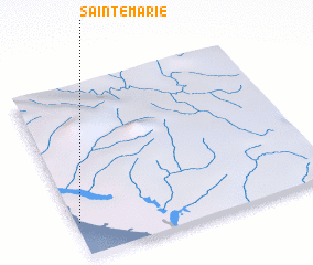 Places with similar names to Sainte-Marie, Gabon ::
// Santa Maria (BR)
// Santa Maria (BR)
// Santa Maria (BR)
// Santa Maria (BR)
// Santa Maria (BR)
// Santa Maria (BR)
// Santa Maria (BR)
// Santa Maria (BR)
// Santa Maria (BR)
// Santa Maria (BR)
Disclaimer :: Information on this page comes without warranty of any kind |
||
|
Where is Sainte-Marie? Elevation and coordinates ::
Latitude (lat): 3°48'0"S Longitude (lon): 11°1'0"E
Elevation (approx.): 21m (map arrows pan, magnifying glasses zoom) |
||
|
Visiting Sainte-Marie? Hotel/Accommodation ::
Book a hotel in Sainte-Marie Travel Guide ::
Buy a travel guide for Gabon rental cars ::
car rental offers GPS waypoint ::
download a GPX waypoint (PoI) of Sainte-Marie for your GPS receiver
|
||