|
search place name
|
||
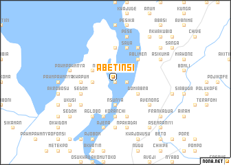
Abetinsi (Ghana)Abetinsi is a town in Ghana. An overview map of the region around Abetinsi is displayed below.
regional and 3d topo map of Abetinsi, Ghana ::
Abetinsi airports ::
The nearest airport is ACC - Accra Kotoka Intl, located 91.0 km south of Abetinsi.
Other airports nearby include LFW - Lome Gnassingbe Eyadema Intl (130.0 km east), TKD - Takoradi (264.9 km south west), Nearby towns ::
Agbosudotoiyi (0.0km north) //
Sikawkaw (0.0km north) //
Sikawkaw (1.8km east) //
Aiyikwataw (1.9km north) //
Nflama (2.6km north east) //
New Ajena (2.6km north west) //
Edumasin (3.7km west) //
Asubrempong (3.7km west) //
Nsunya (3.7km south) //
Bisikrom (3.7km south) //
Betenya (3.7km south) //
Domiabra (4.1km south east) //
Gyakiti (4.1km north west) //
Ablimen (5.2km north east) //
Dasasi (5.6km north) //
Kwapum (5.5km west) //
Fiefienon (5.5km west) //
Koranchi (5.6km south) //
Odumasin (5.8km west) //
Sedom (5.8km west) //
Saua (5.9km north) //
Akagla (5.9km north) //
Anyenso (5.9km south) //
Apiakrom (5.9km south) //
Abomisam (6.7km north east) //
Avenong (6.7km south east) //
Maniayoiyim (6.7km south west) //
Aglobo (6.7km south west) //
Aboabo (7.4km south) //
[all distances 'as the bird flies' and approximate] 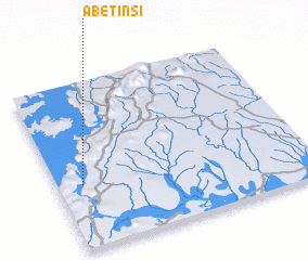
Disclaimer :: Information on this page comes without warranty of any kind |
||
|
Where is Abetinsi? Elevation and coordinates ::
Latitude (lat): 6°23'0"N Longitude (lon): 0°6'0"W
Elevation (approx.): 75m (map arrows pan, magnifying glasses zoom) |
||
|
Visiting Abetinsi? Hotel/Accommodation ::
Book a hotel in Abetinsi Travel Guide ::
Buy a travel guide for Ghana rental cars ::
car rental offers GPS waypoint ::
download a GPX waypoint (PoI) of Abetinsi for your GPS receiver
|
||