|
search place name
|
||
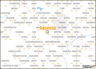
Aburaso (Ghana)Aburaso is a town in Ghana. An overview map of the region around Aburaso is displayed below.
regional and 3d topo map of Aburaso, Ghana ::
Aburaso airports ::
The nearest airport is NYI - Sunyani, located 107.5 km north west of Aburaso.
Other airports nearby include TKD - Takoradi (194.3 km south), ACC - Accra Kotoka Intl (202.3 km south east), Nearby towns ::
Himang (0.0km north) //
Nsima (1.9km north) //
Womasi (1.9km north) //
Ewhemasi (3.7km north) //
Brofoyedru (3.7km south) //
Adiembra (3.7km east) //
Santasi (3.7km east) //
Denchem Buoso (4.1km north west) //
Techiman (4.1km north west) //
Bebu (4.1km south west) //
Daku (4.1km south west) //
Buku (4.1km north west) //
Akosumu (4.1km south west) //
Oheneba Kokobin (4.1km south east) //
Atasomanso (4.1km south east) //
Dominasi (5.2km north west) //
Asuabua (5.6km north) //
Yabi (5.5km west) //
Kasi (5.5km east) //
Tanoso (5.9km north) //
Ampabami (5.9km south) //
Kwadaso (5.9km north) //
Adiebaba (5.8km east) //
Dida (5.8km west) //
Kumasi (6.7km north east) //
Techiman-Mbreweja (6.7km south west) //
Kokobin (6.7km south west) //
Sokoben (6.7km south east) //
Dumakwai (6.7km south west) //
[all distances 'as the bird flies' and approximate] 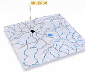 Places with similar names to Aburaso, Ghana ::
Disclaimer :: Information on this page comes without warranty of any kind |
||
|
Where is Aburaso? Elevation and coordinates ::
Latitude (lat): 6°39'0"N Longitude (lon): 1°40'0"W
Elevation (approx.): 245m (map arrows pan, magnifying glasses zoom) |
||
|
Visiting Aburaso? Hotel/Accommodation ::
Book a hotel in Aburaso Travel Guide ::
Buy a travel guide for Ghana rental cars ::
car rental offers GPS waypoint ::
download a GPX waypoint (PoI) of Aburaso for your GPS receiver
|
||