|
search place name
|
||
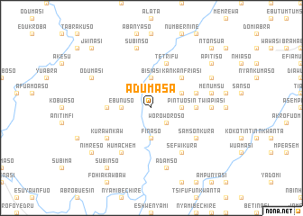
Adumasa (Ghana)Adumasa is a town in Ghana. An overview map of the region around Adumasa is displayed below.
regional and 3d topo map of Adumasa, Ghana ::
Adumasa airports ::
The nearest airport is TKD - Takoradi, located 136.9 km south of Adumasa.
Other airports nearby include NYI - Sunyani (147.9 km north west), ACC - Accra Kotoka Intl (190.1 km east), Nearby towns ::
Woroworoso (2.6km south east) //
Ebunuso (3.7km west) //
Pintuosin (3.7km east) //
Finaso (3.7km south) //
Bisiasi (3.7km north) //
Akakankro (3.7km north) //
Ebo Number 1 (4.1km north east) //
Kankanfriasi (5.2km north east) //
Ayeim (5.5km west) //
Adinkrakrom (5.5km east) //
Tetrifu (5.9km north) //
Ebo Number 2 (5.8km east) //
Kurawnkaw (6.7km south west) //
Samsonkura (6.7km south east) //
Sefwikura (6.7km south east) //
Humachem (6.7km south west) //
Twiapiasi (7.4km east) //
Adamso (7.6km south) //
Subinso (7.6km north) //
Menumsu (7.6km east) //
Odumasi (8.3km north west) //
Fenyami (8.3km north east) //
Subinso (9.2km south west) //
Apitiso (9.2km north east) //
Nimreso (9.2km south west) //
Jwinasi (10.5km north west) //
Ntonsua (10.5km north east) //
[all distances 'as the bird flies' and approximate] 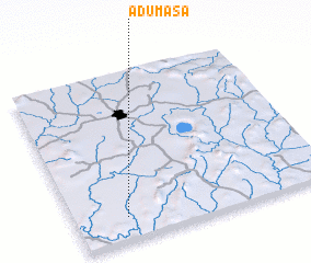 Places with similar names to Adumasa, Ghana ::
Disclaimer :: Information on this page comes without warranty of any kind |
||
|
Where is Adumasa? Elevation and coordinates ::
Latitude (lat): 6°8'0"N Longitude (lon): 1°48'0"W
Elevation (approx.): 137m (map arrows pan, magnifying glasses zoom) |
||
|
Visiting Adumasa? Hotel/Accommodation ::
Book a hotel in Adumasa Travel Guide ::
Buy a travel guide for Ghana rental cars ::
car rental offers GPS waypoint ::
download a GPX waypoint (PoI) of Adumasa for your GPS receiver
|
||