|
search place name
|
||
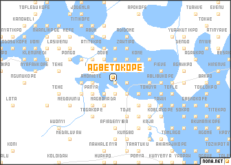
Agbetokope (Ghana)Agbetokope is a town in Ghana. An overview map of the region around Agbetokope is displayed below.
regional and 3d topo map of Agbetokope, Ghana ::
Agbetokope airports ::
The nearest airport is LFW - Lome Gnassingbe Eyadema Intl, located 85.5 km east of Agbetokope.
Other airports nearby include ACC - Accra Kotoka Intl (85.8 km south west), COO - Cotonou Cadjehoun (212.3 km east), Nearby towns ::
Fopu (0.0km north) //
Ameduikaw (0.0km north) //
Kutunu (0.0km north) //
Kujetukope (1.9km south) //
Manyenu (1.8km east) //
Chichekope (1.9km south) //
Dokpe (2.6km south west) //
Aklaya (2.6km north west) //
Aloi (2.6km north west) //
Ikenyakope (2.6km south east) //
Kulobotukope (2.6km north east) //
Amiamukaw (3.7km north) //
Amoniete (3.7km west) //
Hlove (3.7km west) //
Numbwakope (3.7km west) //
Kubikope (4.1km south west) //
Magbomada (4.1km south west) //
Dove (4.1km north west) //
Dogobom (4.1km south west) //
Akpakpavikope (4.1km south west) //
Kabenu (4.1km north east) //
Panya (4.1km south west) //
Dunchirikope (4.1km north east) //
Fiave (4.1km south east) //
Akudome (4.1km south east) //
Pwoji (4.1km north west) //
Kwaotakope (5.2km south east) //
Dedabtakope (5.2km north west) //
Apramohukope (5.2km north west) //
[all distances 'as the bird flies' and approximate]  Places with similar names to Agbetokope, Ghana ::
Disclaimer :: Information on this page comes without warranty of any kind |
||
|
Where is Agbetokope? Elevation and coordinates ::
Latitude (lat): 6°0'0"N Longitude (lon): 0°30'0"W
Elevation (approx.): 2m (map arrows pan, magnifying glasses zoom) |
||
|
Visiting Agbetokope? Hotel/Accommodation ::
Book a hotel in Agbetokope Travel Guide ::
Buy a travel guide for Ghana rental cars ::
car rental offers GPS waypoint ::
download a GPX waypoint (PoI) of Agbetokope for your GPS receiver
|
||