|
search place name
|
||
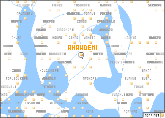
Ahawdemi (Ghana)Ahawdemi is a town in Ghana. An overview map of the region around Ahawdemi is displayed below.
regional and 3d topo map of Ahawdemi, Ghana ::
Ahawdemi airports ::
The nearest airport is LFW - Lome Gnassingbe Eyadema Intl, located 81.7 km east of Ahawdemi.
Other airports nearby include ACC - Accra Kotoka Intl (96.7 km south west), COO - Cotonou Cadjehoun (207.9 km east), Nearby towns ::
Dadobui (1.8km east) //
Chowula (1.9km south) //
Klukpo (2.6km south east) //
Aholukofe (2.6km north east) //
Kerikofe (2.6km south west) //
Anfen (3.7km east) //
Jaheta (4.1km north east) //
Dekpo (4.1km north west) //
Telafomi (4.1km south west) //
Abuzome (4.1km south west) //
Drakofe (4.1km south west) //
Adabakpo (5.2km south west) //
Kpekpo (5.6km north) //
Vijurulu (5.6km north) //
Lotaw (5.5km east) //
Adidovenu (5.5km west) //
Adave (5.9km north) //
Vuti (5.9km north) //
Apokofe (5.9km south) //
Mangosi (5.9km north) //
Atiteti (5.8km west) //
Duase (6.7km north east) //
Hokpo (6.7km north west) //
Zingakofe (6.7km north west) //
Zongo (7.4km north) //
Manasi (7.4km west) //
Gotakofe (7.6km east) //
Jabukpo (7.8km north east) //
Kojovikofe (8.3km south west) //
[all distances 'as the bird flies' and approximate] 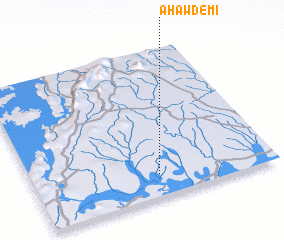 Places with similar names to Ahawdemi, Ghana :: Disclaimer :: Information on this page comes without warranty of any kind |
||
|
Where is Ahawdemi? Elevation and coordinates ::
Latitude (lat): 6°9'0"N Longitude (lon): 0°31'0"W
Elevation (approx.): 35m (map arrows pan, magnifying glasses zoom) |
||
|
Visiting Ahawdemi? Hotel/Accommodation ::
Book a hotel in Ahawdemi Travel Guide ::
Buy a travel guide for Ghana rental cars ::
car rental offers GPS waypoint ::
download a GPX waypoint (PoI) of Ahawdemi for your GPS receiver
|
||