|
search place name
|
||
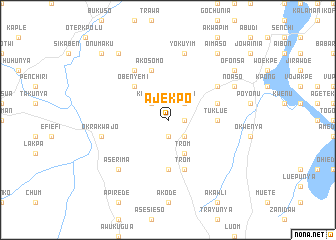
Ajekpo (Ghana)Ajekpo is a town in Ghana. An overview map of the region around Ajekpo is displayed below.
regional and 3d topo map of Ajekpo, Ghana ::
Ajekpo airports ::
The nearest airport is ACC - Accra Kotoka Intl, located 58.5 km south of Ajekpo.
Other airports nearby include LFW - Lome Gnassingbe Eyadema Intl (142.6 km east), TKD - Takoradi (235.5 km south west), Nearby towns ::
Yokunya (1.8km east) //
Sra (1.9km south) //
Amanfro (1.9km south) //
Asiti (2.6km north east) //
Odumasi (2.6km north east) //
Ogome (2.6km south east) //
Somanya (2.6km south east) //
Kodiabe (2.6km north west) //
Trom (4.1km south east) //
Obenyemi (5.2km north west) //
Kwamante (5.6km south) //
Tuklue (5.5km east) //
Trom (5.9km south) //
Kwajoenya (5.8km east) //
Akosomo (5.9km north) //
Madam (6.7km north east) //
Agomanya (6.7km north east) //
Abotia (6.7km north west) //
Yokuyim (7.6km north) //
Okrakwajo (7.6km west) //
Aserima (7.8km south west) //
Noaso (8.3km north east) //
Manyukpowuno (8.3km north east) //
Odugbarisi (9.2km north west) //
Aimaso (9.2km north east) //
Ofonsa (9.2km north east) //
Onumaku (10.5km north west) //
[all distances 'as the bird flies' and approximate] 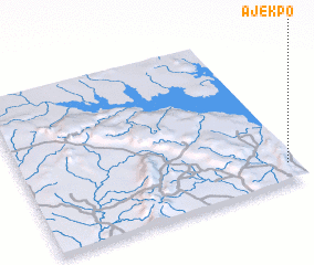
Disclaimer :: Information on this page comes without warranty of any kind |
||
|
Where is Ajekpo? Elevation and coordinates ::
Latitude (lat): 6°7'0"N Longitude (lon): 0°2'0"W
Elevation (approx.): 248m (map arrows pan, magnifying glasses zoom) |
||
|
Visiting Ajekpo? Hotel/Accommodation ::
Book a hotel in Ajekpo Travel Guide ::
Buy a travel guide for Ghana rental cars ::
car rental offers GPS waypoint ::
download a GPX waypoint (PoI) of Ajekpo for your GPS receiver
|
||