|
search place name
|
||
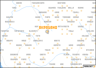
Akpadaho (Ghana)Akpadaho is a town in Ghana. An overview map of the region around Akpadaho is displayed below.
regional and 3d topo map of Akpadaho, Ghana ::
Akpadaho airports ::
The nearest airport is LFW - Lome Gnassingbe Eyadema Intl, located 117.8 km south east of Akpadaho.
Other airports nearby include ACC - Accra Kotoka Intl (160.2 km south west), COO - Cotonou Cadjehoun (218.6 km east), Nearby towns ::
Atsukofe (1.9km north) //
Agbesia (3.7km north) //
Akusame (4.1km north west) //
Tota (4.1km south west) //
Klikpo (4.1km south west) //
Adiveme (4.1km north west) //
Wuinta (4.1km north west) //
Gbadjeme (5.2km south west) //
Boete (5.2km south east) //
Angoe (5.2km south east) //
Duga (5.6km north) //
Fiafe (5.6km north) //
Kekenikekofe (5.5km east) //
Alakpeti (5.5km west) //
Adjakoe (5.5km west) //
Ashanti Kpoeta (5.8km east) //
Awlime (5.9km south) //
Huime (6.7km north west) //
Agbome (6.7km north west) //
Asotodji (6.7km north east) //
Heme (6.7km north east) //
Djelokofe (6.7km south east) //
Honuta (6.7km south east) //
Djokpe (7.4km west) //
Kpodji (7.4km east) //
Todze (7.4km south) //
Fume (7.6km west) //
Deme (7.6km north) //
Gbodome (7.6km north) //
[all distances 'as the bird flies' and approximate] 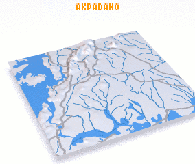 Places with similar names to Akpadaho, Ghana :: Disclaimer :: Information on this page comes without warranty of any kind |
||
|
Where is Akpadaho? Elevation and coordinates ::
Latitude (lat): 6°54'0"N Longitude (lon): 0°29'0"W
Elevation (approx.): 734m (map arrows pan, magnifying glasses zoom) |
||
|
Visiting Akpadaho? Hotel/Accommodation ::
Book a hotel in Akpadaho Travel Guide ::
Buy a travel guide for Ghana rental cars ::
car rental offers GPS waypoint ::
download a GPX waypoint (PoI) of Akpadaho for your GPS receiver
|
||