|
search place name
|
||
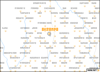
Akrampa (Ghana)Akrampa is a town in Ghana. An overview map of the region around Akrampa is displayed below.
regional and 3d topo map of Akrampa, Ghana ::
Akrampa airports ::
The nearest airport is TKD - Takoradi, located 86.3 km south west of Akrampa.
Other airports nearby include ACC - Accra Kotoka Intl (113.5 km east), NYI - Sunyani (253.8 km north west), Nearby towns ::
Fanti Nyankumasi (1.8km east) //
Bosumadwi (1.9km north) //
Katachiasi (1.8km east) //
Asin Kumasi (2.6km south west) //
Minyinasi (2.6km north west) //
Secheri (2.6km south east) //
Kwadoja (2.6km south east) //
Odumasi (2.6km north east) //
Sibinsu (2.6km north east) //
Afao (3.7km west) //
Nyamibechere (3.7km south) //
Amanporo (4.1km south west) //
Tetikasum (4.1km south west) //
Ahwiawom (4.1km south west) //
Teti (4.1km south east) //
Nyamibechere (4.1km north west) //
Mereadan (4.1km north west) //
Chinaso (4.1km north east) //
Esamang (5.2km south west) //
Akropong (5.5km east) //
Dunkwa (5.6km south) //
Kwrado (5.8km east) //
Domiabra (5.9km north) //
Jakai (5.8km west) //
Kawonsro (6.7km south east) //
Fawumanye (6.7km north east) //
Kwakrom (6.7km north east) //
Ayiwasi (7.4km west) //
Oduafo (7.6km west) //
[all distances 'as the bird flies' and approximate] 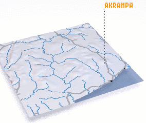 Places with similar names to Akrampa, Ghana :: Disclaimer :: Information on this page comes without warranty of any kind |
||
|
Where is Akrampa? Elevation and coordinates ::
Latitude (lat): 5°23'0"N Longitude (lon): 1°10'0"W
Elevation (approx.): 117m (map arrows pan, magnifying glasses zoom) |
||
|
Visiting Akrampa? Hotel/Accommodation ::
Book a hotel in Akrampa Travel Guide ::
Buy a travel guide for Ghana rental cars ::
car rental offers GPS waypoint ::
download a GPX waypoint (PoI) of Akrampa for your GPS receiver
|
||