|
search place name
|
||
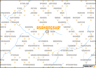
Asamangsua (Ghana)Asamangsua is a town in Ghana. An overview map of the region around Asamangsua is displayed below.
regional and 3d topo map of Asamangsua, Ghana ::
Asamangsua airports ::
The nearest airport is NYI - Sunyani, located 142.9 km north west of Asamangsua.
Other airports nearby include TKD - Takoradi (154.4 km south), ACC - Accra Kotoka Intl (177.2 km south east), Nearby towns ::
Brobriasi (0.0km north) //
Akrokeri (1.8km west) //
Buda (1.8km east) //
Akrofuom (1.8km east) //
Patakro (3.7km west) //
Aiyinabrim (4.1km south west) //
Nanting (4.1km south west) //
Odumasi (4.1km north west) //
Hemang (4.1km north west) //
Sodua (4.1km north east) //
Abomposu (5.2km south east) //
Mampamhwe (5.6km south) //
Wiawso (5.5km west) //
Hemang (5.9km north) //
Abejum (5.8km west) //
Achiasi (5.8km west) //
Ebutumtumso (6.7km south west) //
Biribiwomang (6.7km north west) //
Metemanu (6.7km south west) //
Esikofokrom (6.7km south west) //
Abawe (6.7km north east) //
Edubiasi (6.7km north east) //
Pomposo (7.4km south) //
Wamahin (7.4km south) //
Edibrim (7.4km north) //
Akotechiaso (7.6km west) //
Asempanaye (7.6km south) //
Adomanu (7.6km west) //
Mansia (7.6km east) //
[all distances 'as the bird flies' and approximate] 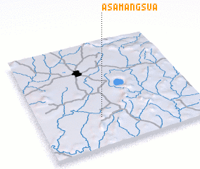 Places with similar names to Asamangsua, Ghana ::
// Asamankese (GH)
Disclaimer :: Information on this page comes without warranty of any kind |
||
|
Where is Asamangsua? Elevation and coordinates ::
Latitude (lat): 6°17'0"N Longitude (lon): 1°37'0"W
Elevation (approx.): 249m (map arrows pan, magnifying glasses zoom) |
||
|
Visiting Asamangsua? Hotel/Accommodation ::
Book a hotel in Asamangsua Travel Guide ::
Buy a travel guide for Ghana rental cars ::
car rental offers GPS waypoint ::
download a GPX waypoint (PoI) of Asamangsua for your GPS receiver
|
||