|
search place name
|
||
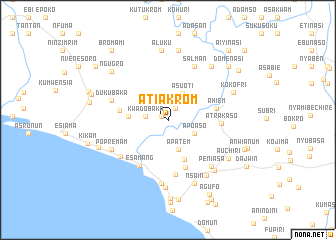
Atiakrom (Western, Ghana)Atiakrom is a town in the Western region of Ghana. An overview map of the region around Atiakrom is displayed below.
regional and 3d topo map of Atiakrom, Ghana ::
Atiakrom airports ::
The nearest airport is TKD - Takoradi, located 52.3 km east of Atiakrom.
Other airports nearby include ABJ - Abidjan Felix Houphouet Boigny Intl (189.8 km west), Nearby towns ::
Chuansi (0.8km north west) //
Nanwa (1.5km north east) //
Kwadobaka (2.6km west) //
Apoaso (3.3km south east) //
Asuoti (3.4km north east) //
Apatem (3.5km south) //
Esuomi (3.7km north east) //
Mamponso (4.4km west) //
Adukrom (4.7km south) //
Atababo (5.5km west) //
Ahiem (5.6km east) //
Ausakrom (5.6km south) //
Atrakaso (6.0km east) //
Esamang (6.0km south west) //
Esamang (6.1km south) //
Salman (6.6km north east) //
Dukubaka (6.6km west) //
Asanta (6.7km south west) //
Upper Town (7.1km south) //
Popremam (7.1km south west) //
Peniasa (7.1km south east) //
Achim (7.5km south) //
Natiem (7.5km south east) //
Anchenin (7.6km south east) //
Nsain (7.6km south east) //
Bokro (7.6km north east) //
Aluku (7.8km north) //
Akanko (7.9km north) //
Kokofri (7.9km north east) //
[all distances 'as the bird flies' and approximate] 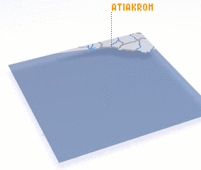 Places with similar names to Atiakrom, Ghana ::
Disclaimer :: Information on this page comes without warranty of any kind |
||
|
Where is Atiakrom? Elevation and coordinates ::
Latitude (lat): 4°56'48"N Longitude (lon): 2°14'37"W
Elevation (approx.): 15m (map arrows pan, magnifying glasses zoom) |
||
|
Visiting Atiakrom? Hotel/Accommodation ::
Book a hotel in Atiakrom Travel Guide ::
Buy a travel guide for Ghana rental cars ::
car rental offers GPS waypoint ::
download a GPX waypoint (PoI) of Atiakrom for your GPS receiver
|
||