|
search place name
|
||
Dotum (Ghana)Dotum is a town in Ghana. An overview map of the region around Dotum is displayed below.
regional and 3d topo map of Dotum, Ghana ::

Dotum airports ::
The nearest airport is NYI - Sunyani, located 140.4 km north west of Dotum.
Other airports nearby include TKD - Takoradi (169.1 km south), ACC - Accra Kotoka Intl (171.8 km south east), Nearby towns ::
Asokore (1.8km east) //
Mpaguom (1.8km east) //
Odumasi (2.6km north west) //
Ejwinasi (2.6km south east) //
Benkwakwa (3.7km north) //
Asechere (4.1km north west) //
Buaben (4.1km north east) //
Konkromasi (4.1km north east) //
Eduam (4.1km north west) //
Seiwakrom (4.1km south east) //
Abodom (5.2km north west) //
Asubuokrom (5.2km south east) //
Kokotru (5.2km south east) //
Ahuren (5.6km north) //
Koniyao (5.5km east) //
Sanfu (5.5km west) //
Adakwai (5.6km south) //
Dadiasi (5.9km north) //
Juamang (5.9km north) //
Bojawi (5.8km west) //
Ntraku (6.7km south east) //
Wiawso (7.4km west) //
Ochereso (7.6km north) //
Isasi (7.6km north) //
Asempaneye (7.6km east) //
Nyamibechire (7.6km east) //
Ankasi (7.6km west) //
Ahinsan (7.6km south) //
Beposo (7.8km north east) //
[all distances 'as the bird flies' and approximate] 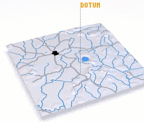 Places with similar names to Dotum, Ghana ::
Disclaimer :: Information on this page comes without warranty of any kind |
||
|
Where is Dotum? Elevation and coordinates ::
Latitude (lat): 6°24'0"N Longitude (lon): 1°30'0"W
Elevation (approx.): 239m (map arrows pan, magnifying glasses zoom) |
||
|
Visiting Dotum? Hotel/Accommodation ::
Book a hotel in Dotum Travel Guide ::
Buy a travel guide for Ghana rental cars ::
car rental offers GPS waypoint ::
download a GPX waypoint (PoI) of Dotum for your GPS receiver
|
||