|
search place name
|
||
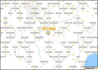
Feyiasi (Ghana)Feyiasi is a town in Ghana. An overview map of the region around Feyiasi is displayed below.
regional and 3d topo map of Feyiasi, Ghana ::
Feyiasi airports ::
The nearest airport is NYI - Sunyani, located 119.1 km north west of Feyiasi.
Other airports nearby include TKD - Takoradi (189.8 km south), ACC - Accra Kotoka Intl (190.0 km south east), Nearby towns ::
Abuontem (1.9km south) //
Aputuoja (1.8km east) //
Adeja (2.6km north west) //
Nkwanta (3.7km south) //
Atobiasi (3.7km east) //
Dompoasi (4.1km north west) //
Dedesua (4.1km south west) //
Woti (4.1km north west) //
Pirabong (4.1km north east) //
Sawia (4.1km north east) //
Ampabami (5.5km west) //
Oyoko (5.6km south) //
Akwaduo (5.5km east) //
Jinyasi (5.6km north) //
Kotei (5.6km north) //
Eduadin (5.9km south) //
Chirapatre (5.9km north) //
Nduaso (5.9km south) //
Kokobiriko (5.9km south) //
Sokoben (5.8km west) //
Titrifu (5.8km east) //
Deduako (5.9km north) //
Jachi (6.7km south east) //
Atonsu (6.7km north west) //
Ahinsai (6.7km north west) //
Ajumam (7.4km south) //
Adunku (7.4km south) //
Ayeduasi (7.4km north) //
Ahinsai (7.6km north) //
[all distances 'as the bird flies' and approximate] 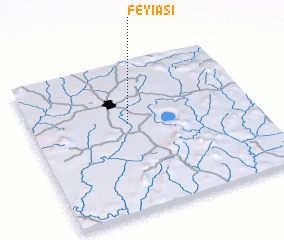 Places with similar names to Feyiasi, Ghana ::
Disclaimer :: Information on this page comes without warranty of any kind |
||
|
Where is Feyiasi? Elevation and coordinates ::
Latitude (lat): 6°36'0"N Longitude (lon): 1°34'0"W
Elevation (approx.): 245m (map arrows pan, magnifying glasses zoom) |
||
|
Visiting Feyiasi? Hotel/Accommodation ::
Book a hotel in Feyiasi Travel Guide ::
Buy a travel guide for Ghana rental cars ::
car rental offers GPS waypoint ::
download a GPX waypoint (PoI) of Feyiasi for your GPS receiver
|
||