|
search place name
|
||
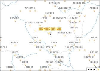
Hamaporiwa (Ghana)Hamaporiwa is a town in Ghana. An overview map of the region around Hamaporiwa is displayed below.
regional and 3d topo map of Hamaporiwa, Ghana ::
Hamaporiwa airports ::
The nearest airport is ACC - Accra Kotoka Intl, located 69.6 km south of Hamaporiwa.
Other airports nearby include LFW - Lome Gnassingbe Eyadema Intl (161.1 km east), TKD - Takoradi (228.7 km south west), Nearby towns ::
Agogo (2.6km north west) //
Opesika (4.1km south west) //
Kaple (4.1km south east) //
Bukrom (5.2km north west) //
Bosotwi (5.6km south) //
Ahabaso Mlawa (5.5km east) //
Aketebwo (5.5km east) //
Trawa (5.8km west) //
Trawa (5.9km north) //
Akwapim (5.8km west) //
Akpamu (6.7km south west) //
Bomasi Tenya (6.7km north east) //
Obusumasua (6.7km south west) //
Sekasua (7.4km north) //
Huhunya (7.6km south) //
Ajaman (7.6km north) //
Sutapong (8.2km north west) //
Sikaben (9.2km south east) //
Opleyo (9.2km south east) //
Akatawia (9.2km north east) //
[all distances 'as the bird flies' and approximate] 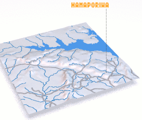 Places with similar names to Hamaporiwa, Ghana :: Disclaimer :: Information on this page comes without warranty of any kind |
||
|
Where is Hamaporiwa? Elevation and coordinates ::
Latitude (lat): 6°14'0"N Longitude (lon): 0°12'0"W
Elevation (approx.): 326m (map arrows pan, magnifying glasses zoom) |
||
|
Visiting Hamaporiwa? Hotel/Accommodation ::
Book a hotel in Hamaporiwa Travel Guide ::
Buy a travel guide for Ghana rental cars ::
car rental offers GPS waypoint ::
download a GPX waypoint (PoI) of Hamaporiwa for your GPS receiver
|
||